Why Planning with GIS is Critical for Pipeline Routing Projects
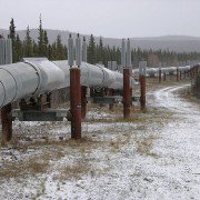
 While pipelines do provide a cost-effective method of transporting oil and gas across long distances, it is still crucial for companies to save on pipeline development costs when they can. Pipeline development represents one of the most significant capital investments oil and gas companies will make, so everything they can do to cut costs helps.
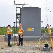
One of the key ways oil and gas companies can cut costs on their pipeline development projects is by using GIS mapping tools for pipeline surveying. Of the many factors that drive high expenses for pipeline routing projects, most of them, including things like diameter, distance, and operating pressure, represent fixed costs that companies really have no control over.
On the other hand, companies can control which terrain they choose to route their pipelines through. This means that pipeline routing is one of the few opportunities that oil and gas companies have to easily cut their pipeline development costs, and GIS is one of the best ways to take advantage of that opportunity.
GIS: A Solution for a New Generation of Pipeline Surveying
In the past, oil and gas companies could build their pipelines just about anywhere. Now, as pipeline right-of-ways grow more and more congested, these companies have to be very selective when picking a route in order to avoid both natural obstacles and existing pipelines.
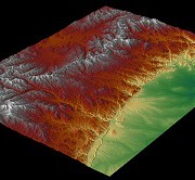
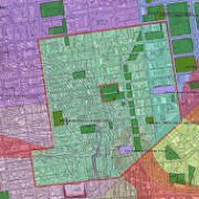
Fortunately, with GIS, oil and gas companies have a new technology that can help them better address this new challenge. GIS helps provide a far more accurate look at a piece of land than ordinary topographical maps could ever provide, offering a clear and complete representation of the spatial relationships around a piece of terrain. As a result, oil and gas companies can get a pipeline route map that helps them make more cost effective decision.
Factors That Define Optimal Pipeline Routing
In pipeline surveying, obstacles like wetland crossings and rough terrain create problems for companies. The pipeline development will have to stop whatever they are doing to find a way to make the pipeline go through, around, or beneath the obstacle. Having to change the pipeline route like this is a waste of time and money, which is why it’s always good to use GIS and just avoid the obstacles in the first place.
It’s also important to recognize that GIS can help you in a variety of other ways as well. When oil and gas companies develop pipelines, they have to account for issues such as how the new pipeline will affect the community. This is important because it helps companies consider things like how the settlements would be affected in the event of oil leakage, and how much the company would have to set aside for compensation payments to existing land owners.
In addition, oil and gas companies have to consider the environmental impact of their project before they can successfully pitch the project to the appropriate regulatory boards. GIS helps planners understand the overall impact of the project, and how to alter the pipeline routing to minimize the damage to vegetation and avoid protected areas like wetlands altogether.
Final Thoughts
In pipeline surveying, what you can’t see definitely can hurt you. Failing to account for poor terrain and other obstacles can delay your project, which costs money. Failing to account for how your pipeline will affect people and the environment can also be very costly, both in terms of financial losses and damage to reputation. Having as much visibility over your pipeline route as possible is key, and GIS can provide that visibility for you.
Ultimately, utilizing GIS services will help you save money and ensure a more efficient and cost effective pipeline route map.


