How Does a LiDAR Drone Survey Work?
If you’re thinking of conducting a survey, you might be wondering if you should use a UAV. UAVs are a swiftly growing branch of the surveying industry — so quickly, in fact, that it’s becoming a standard.
Today, we’re going to discuss some of the types of LiDAR mapping drone, how you perform a LiDAR survey, and what you do with the GIS data that emerges.
The Types of LiDAR Mapping Drone
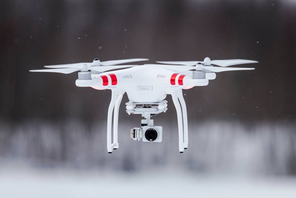
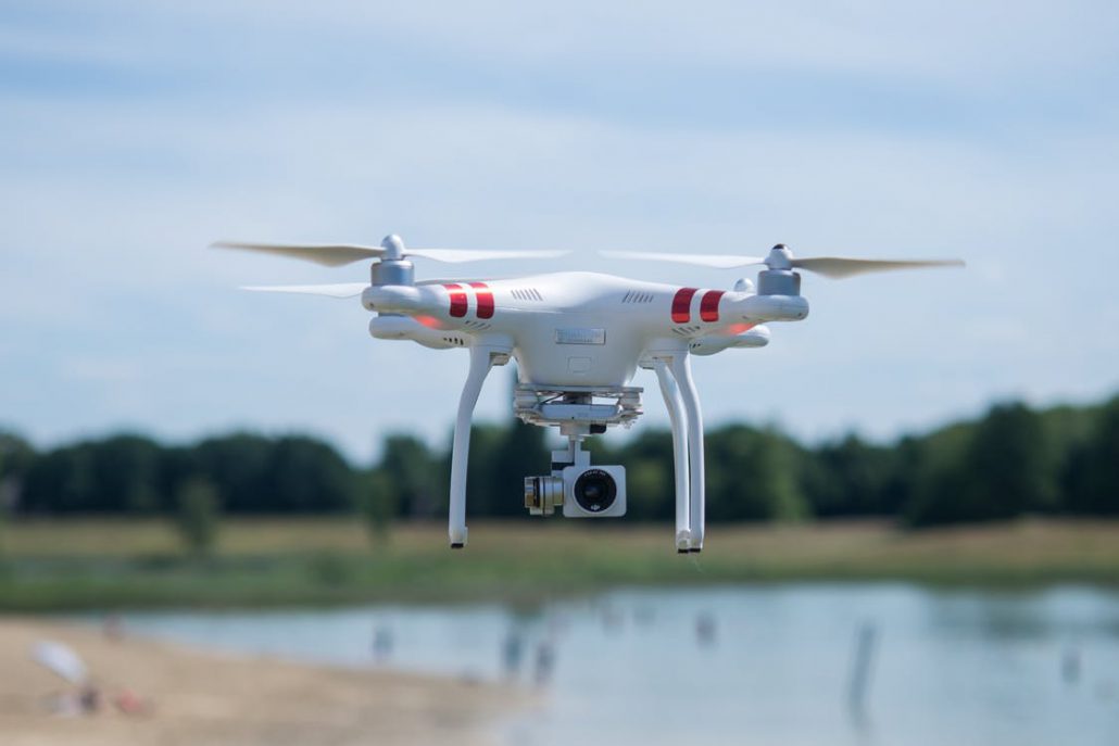
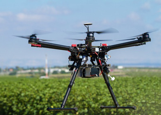
There are two major types of LiDAR mapping drone: fixed-wing and quadcopter. A fixed-wing drone is much like a plane. It’s easy to fly straight but it can take a little more work to maneuver. Because it glides, it cannot hover. A quadcopter is more like a helicopter. It can be more challenging to fly, but it can also hover. Frequently, it’s more maneuverable than a fixed-wing drone.
The type of drone you select is going to depend on the type of survey you need. If you need a survey that goes under something like a bridge, or inside of something like a cavern, a quadcopter drone is probably better. If you need something that can cover a large volume of territory very quickly, a fixed-wing drone is likely an ideal solution.
And, of course, it isn’t always about drones. LiDAR can also be used with planes and helicopters. Because these are manned vehicles, they are more dangerous and need additional permitting. Planes may go too fast and too high to get a good, high-resolution image, whereas helicopters may not be stable if they’re asked to do too much maneuvering and can’t safely approach places a drone can.
Performing a LiDAR Drone Survey
Performing a LiDAR drone survey is easy. First, permits may be needed; it depends on the area. It’s still faster and more affordable than trying to use a manned aerial vehicle, such as a manned plane or helicopter. The drone will already be fitted with LiDAR technology. One drone or multiple drones, depending on the size of the property, will fly over the area and capture images. The LiDAR images will be exceptionally clear and high quality; they will even cut through brush.
All of this is handled by the experts. A drone survey professional is able to setup a survey very quickly. Multiple drones may be used depending on the amount of power they can store in their batteries. The drone will already have built-in LiDAR technology which can then be exported directly to a GIS system.

Corridor Mapping for a LiDAR Drone Survey
Corridor mapping is one of the strategies that can be used for directing survey drones.
Today, a lot of drones can be programmed to do some complicated maneuvers. For instance, most drones have a “hover” mode that sets a point in space that the drone is supposed to circle or hover by. Because a lot of this is automated, it’s easy to perform these maneuvers as necessary.
Corridor mapping means that the drone is simply going straight and collecting data. While it may not be as fun as twists and turns, corridor mapping is what makes a LiDAR drone survey so efficient.
In addition to corridor mapping, you can have drones wait where they are. Corridor mapping is simply the most efficient method for surveying large volumes of land quickly. It’s often best suited to fixed-wing UAVs, as they operate like planes and can fly very fast.
GIS Data for Aerial Mapping
Once the data has been collected, it will be brought into a GIS platform. Most GIS data, whether it’s from LiDAR or another source, will be in a standardized format. From there, you’ll be able to look at your GIS data as points in 3D space. You can even manipulate this space, building on it, and potentially planning new projects.
GIS data will stay forever. But it isn’t just automatically converted to data that can be seen and understood. Rather, the raw data that’s recovered from the drone will usually be processed to ensure that it’s accurate. Most companies are not end-to-end data companies; they rely on a third person for their GIS data management. Working with an all-in-one company, such as Landpoint, will often involve fewer issues.
Simulating Topographic Data
A LiDAR survey is one of the fastest, easiest ways to survey any territory. A UAV is uniquely well-suited to the task, flying with precision accuracy and collecting the data at a much higher resolution. LiDAR and drone surveying can be used to simulate and store topographic data, which can then be used for virtually any need.
GIS data can be used to simulate modifications that are made to the survey area not just now, but decades from now. If the simulated data is kept hosted, it may be able to be used in the future for expansions, teardowns, or repurposing. It can also be used in a variety of different simulated software platforms.
There are other solutions other than LiDAR for topographic mapping. But presently, LiDAR remains the most accurate and feasible solution.
If you want to learn more about having an unmanned aerial vehicle complete your next LiDAR survey, the time to ask questions is now. Connect with us at Landpoint to find out what we can offer.