What Should You Look for In a GIS Mapping Services Provider?
You’re looking for a GIS mapping services provider. But how can you tell which service is the right service for you? While there are many GIS mapping services providers out there, not all GIS & mapping services are made equal. Today, we’re going to take a deeper look at what you should look for in a GIS mapping services provider.
GIS Mapping Options
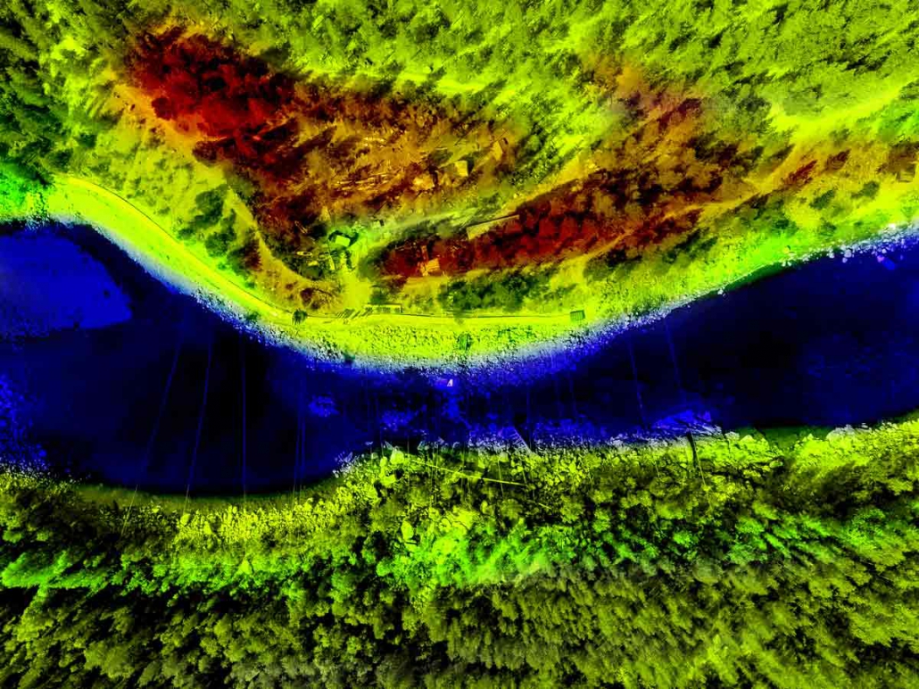
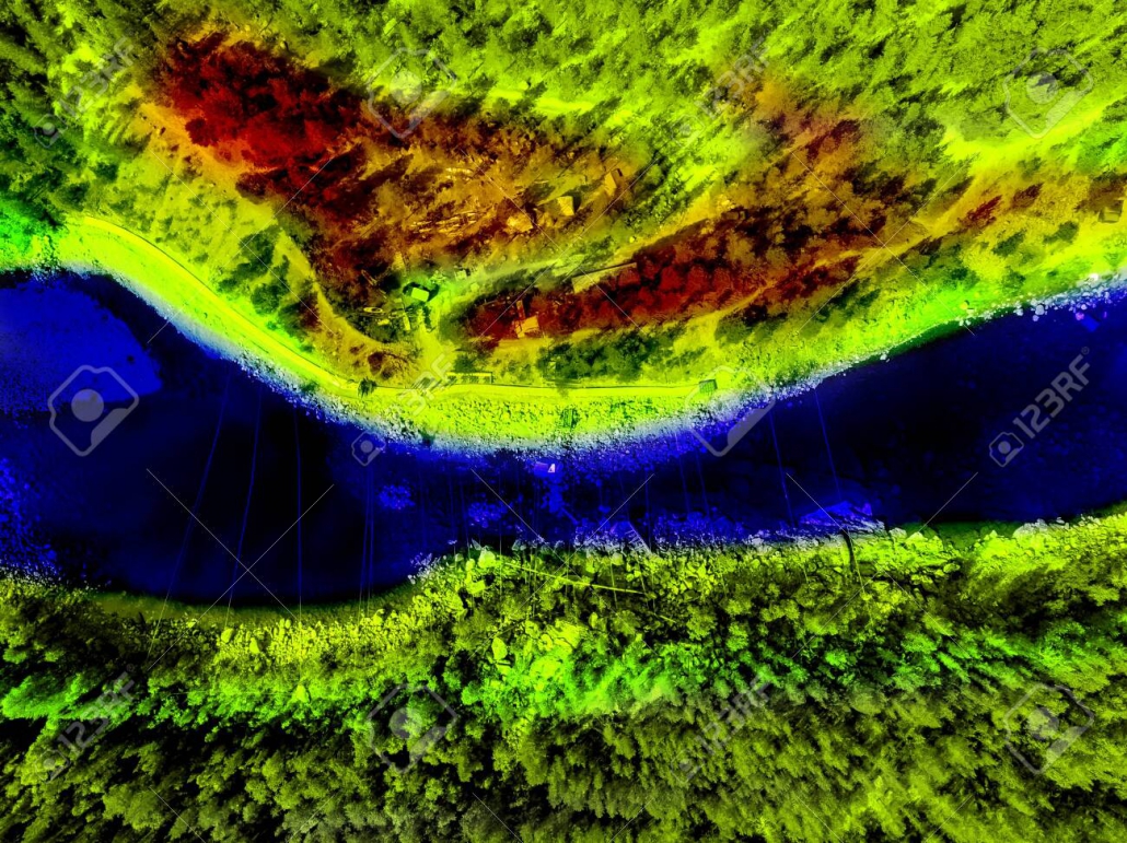
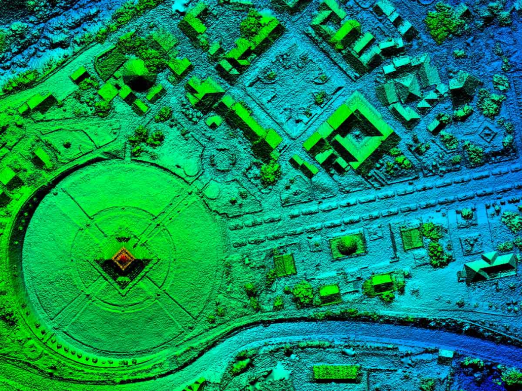
How is the data being acquired? Photogrammetric imaging? LiDAR? Will the mapping service use fixed-wing drones or quadcopter drones? The best GIS services company has numerous options for collecting GIS information—because different scenarios require different things. In some cases, it’s better to have a fast-moving fixed-wing drone. In others, it’s better to have a quadcopter. And in all cases, LiDAR provides more accurate GIS data, but it doesn’t provide data with colors or textures.
A top GIS provider like Landpoint can provide virtually any type of GIS mapping service that you want, getting you the raw data you need for the next step of analysis and simulation. If you want your data captured quickly over large volumes of terrain, then you likely want LiDAR capture through fixed-wing UAVs. If you need more maneuverability and high-resolution data, you may need LiDAR capture through quadcopter UAVs.
And if you need textures and colors, it may be that you need a combination of LiDAR scanning and photogrammetric scanning. It all depends on your personal needs and the environment—and it’s something that a well-qualified GIS services company should be able to walk you through.
Cloud-Based GIS
Cloud-based GIS is becoming more popular due to the extensive resources necessary to crunch large data sets. With a cloud-based GIS system, data can be automatically sent to the cloud when it’s recorded. The power of the cloud can be used to analyze the information and persistent, synced cloud storage can be used to save the data forever. Even better, this data can then be accessed by key stakeholders from everywhere in the world. It makes sense to go with a company like Landpoint that can provide completely cloud-based GIS services.
When data is stored on the cloud, it’s never lost. You’ll be able to access your data now and a decade into the future. While that may not seem to be a priority, what happens when you want to make further changes or alterations to your worksite? What happens if you need to run comparisons to the terrain as it used to be—or analyze whether environmental changes have occurred? Cloud-based GIS services aren’t just advantageous because they provide additional resources. They’re more advanced because they can save your data forever.
Unlimited Data Sizes
Landpoint provides unlimited data sizes—something that not all GIS services can provide. GIS and mapping services now consume more data than ever, because the levels of resolution and accuracy are constantly increasing. If you want to be able to capture the highest resolution, most involved data possible, you need unlimited data sizes. This provides you with the information that you need to complete simulations, make decisions, and analyze your site.
Experience in Your Industry
Ideally, you want to work with GIS services that have some experience in your industry. Have they worked with gas pipelines before? Have they worked with housing developments or environmental studies? A GIS mapping services provider should be skilled at the type of GIS mapping that you need and have at least some experience within your industry.
Landpoint has experts and specialists in numerous industries, ranging from oil pipelines to construction. A robust and diverse GIS solution, Landpoint has clients across a large variety of disciplines—and that makes Landpoint uniquely well-suited to collect and analyze GIS information for these industries.
Every company in every industry has different reasons for conducting GIS mapping. It’s important that your GIS data properly reflect your goals, whether it’s ensuring that water runoff doesn’t harm the environment or locating the best sites for new buildings and structures. Raw GIS data must be accurate as possible, but how it’s processed and analyzed has to be similarly precise.
In-House Data Processing
What happens when data is processed in-house? It’s faster, cheaper, and more accurate. When data is processed in-house, your GIS mapping services don’t need to rely upon a third-party solution to return the results. They are able to remain in complete control of the results and can ensure that the data is always available to you. And because they’re handling everything in-house rather than outsourcing it, they can also provide cheaper data processing services.
Landpoint does all its data processing end-to-end, so the data is collected via Landpoint systems, analyzed through Landpoint, and distributed through Landpoint. Not only does that improve productivity and cut down on time, but it also reduces the potential for import/export errors. Otherwise, it might be difficult to ensure that the data is correct cross-platform.
What to Look for in a GIS Services Company
These are the technical proficiencies that you should look for in GIS services: cloud technology, in-house data processing, and more. But you should also look for some other basic skills in a GIS services company. Your services company should be responsive and easy to work with. They should be able to get your data capture and data analysis on a schedule. And they should have the technology and employee hours to work with you conscientiously to make sure you get the data you need.
Ask your GIS company the following questions:
- How do you capture GIS data?
- How is the GIS data processed?
- Do you process all the GIS data yourself?
If you need to learn more about GIS mapping services and the GIS services available to you, the time is now. Contact the experts at Landpoint to find out more about what makes our GIS services special.