What to Look for when Hiring a Land Survey Company
You’re looking for a land drone survey company with drone experience. But how can you find the best one? With there being so many land survey companies available today, it can be difficult to determine the most capable. Here are a few of the major things that you should look for before committing to a project.
Find Licensed, Experienced UAV Operators
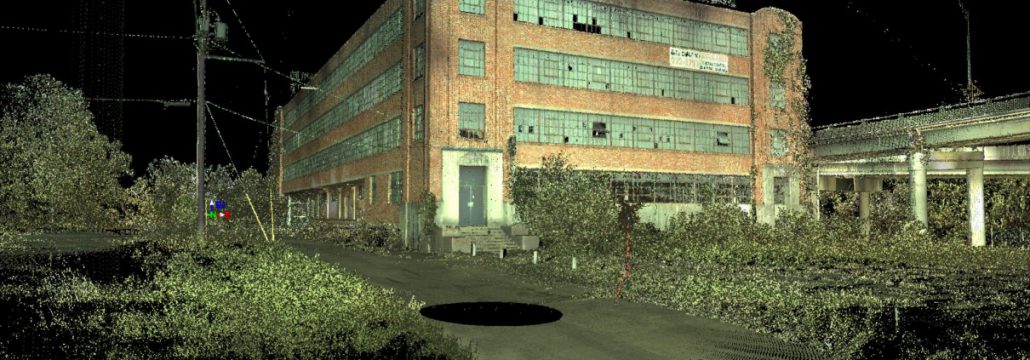
Today, UAVs (aka drones) are the best option for most land surveys. Drones can cover land quickly, can fly low to the ground to capture high-resolution scans, and fly without any on-board staff, thereby making them much safer.
But any company can purchase drones. That doesn’t mean that they’re experienced in their use. The more experienced the company is, the better the results will be. Ask about their prior experience and how long they’ve been using drones.
Get a Company That Does End-to-End Services
Not every land survey company analyzes its own aerial data, and that can be a problem. When a company outsources its data management, it exports its data to a third party. This often introduces both delays and errors.

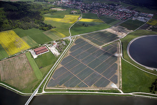
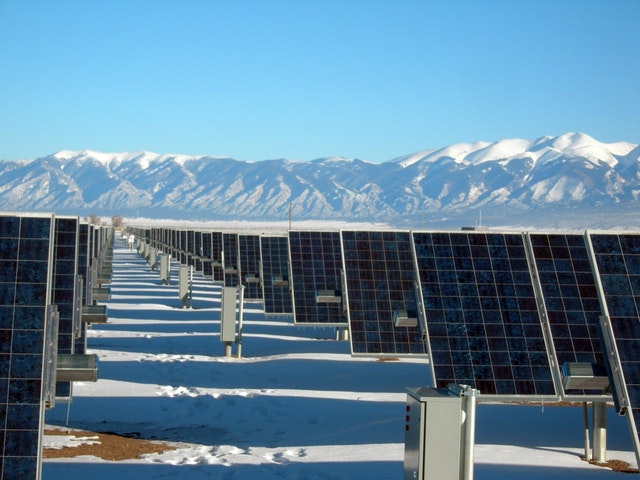
Surveying in Civil Engineering 
Land Survey Company 
Land Surveyor
An end-to-end services company manages its data in-house. This will ultimately lead to fewer delays, because the company isn’t reliant on a third party to produce data. The data will also be more accurate because it isn’t being imported and exported to other vendors.
Ask About their Experience with Your Project
A company that works primarily with pipeline projects is naturally going to be better at pipeline projects. You want to look for a company that, at very least, has completed projects like yours in the past. They’re going to be able to complete the project with fewer issues. Ask about any previous work they’ve done within the industry, and if they have any specialized knowledge or recommendations.
Look Up Online Reviews and Testimonials
Online, reviews and testimonials are often the best way to make sure that a company is reputable. Companies can’t control their reviews: They can’t get a review deleted from a third-party site, no matter how hard they try. Look up your drone survey company online and ask them about any negative reviews that you notice.
Get a Diverse Set of Options
There are two options you need to be concerned about: vehicle and scanning technology. With vehicle technology, most aerial surveys are going to be done by plane, helicopter, and drone. It’s ideal to work with a company that can provide all three, because there’s a time and a place for each. Today, most land surveys are done by drone, because they are agile, safe, and effective. But you may need a survey by plane, if you need to cover large amounts of territory quickly.
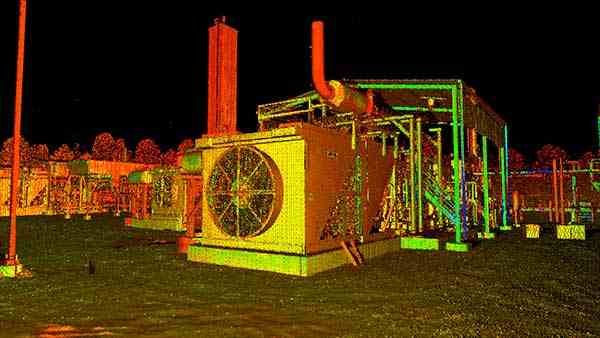
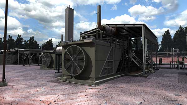
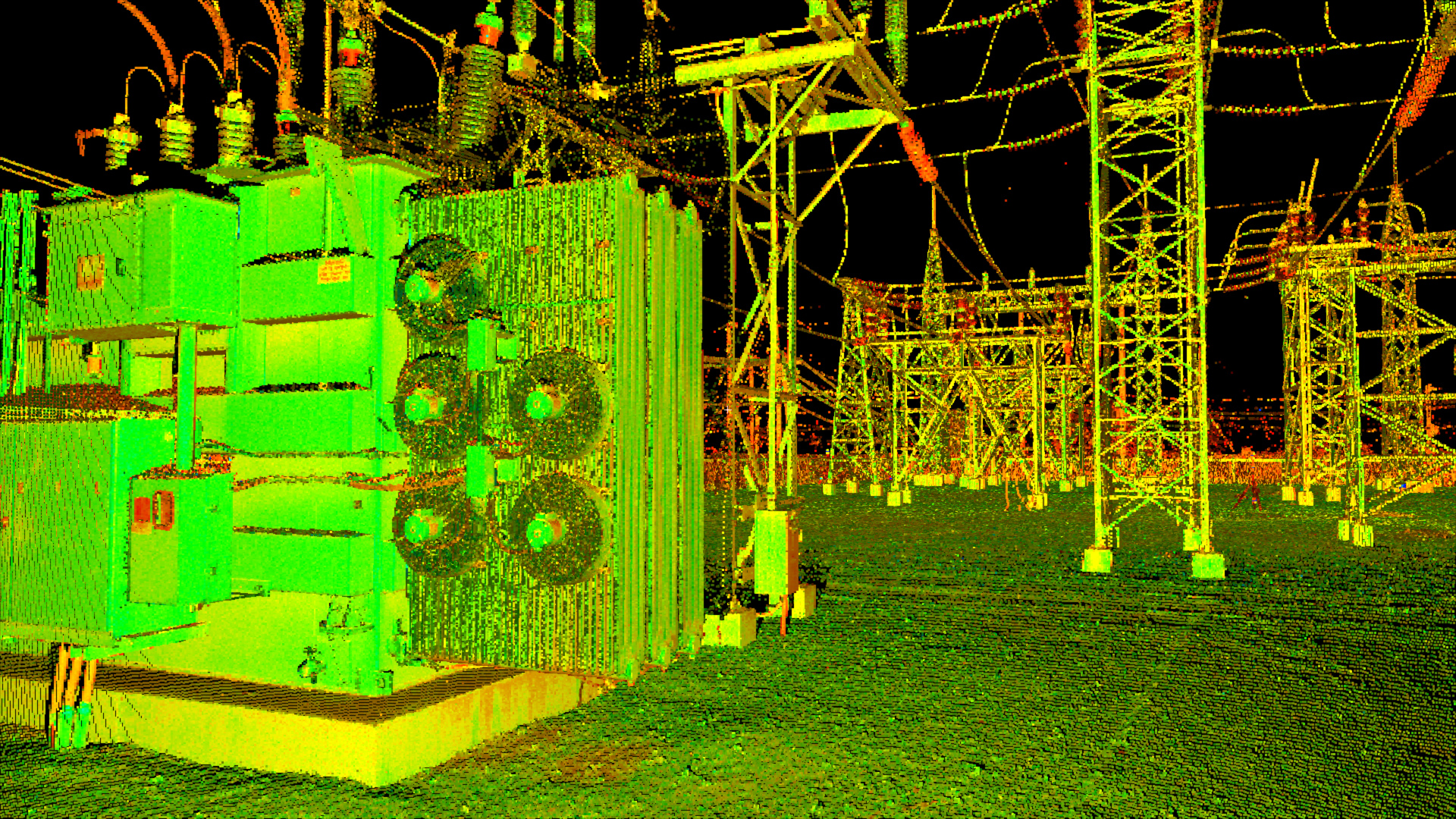
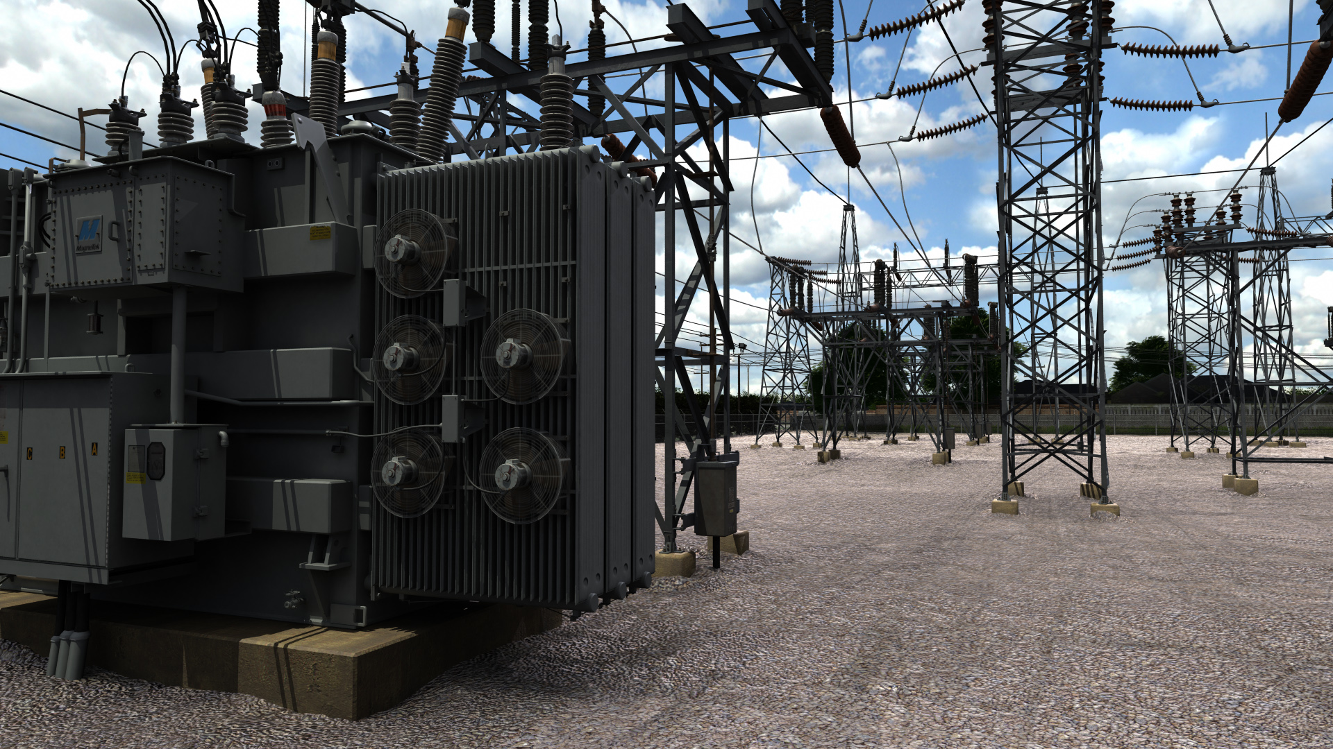
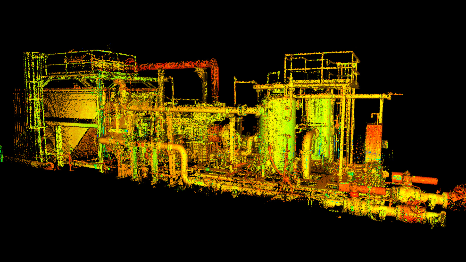
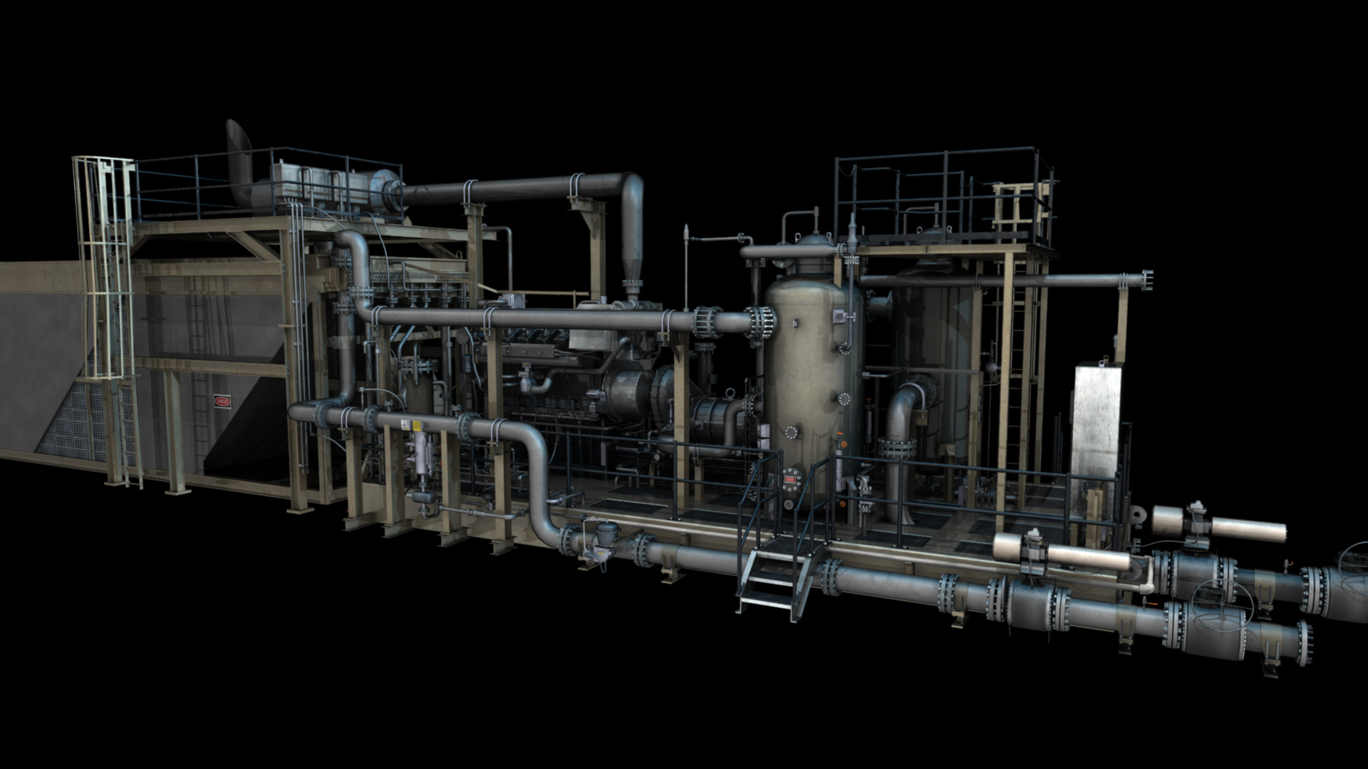
When it comes to scanning technology, there’s LiDAR and photogrammetric scanning. For the best results, you want LiDAR scanning; it’s higher resolution and more accurate. But photogrammetric scanning can be useful too, because it gives you colors and textures on the ground.
Compare Your Bids
Whether you’re looking for a municipal project or a private development, it’s going to come down to collecting bids. Be wary about the cheapest bids, as these may not include some items (such as end-to-end data analysis) that are really needed for a successful land survey.
Get a few bids from different companies and go over them line by line. This will give you more information about the exact services that they’re willing to offer you, and whether you’re comparing bids apples-to-apples. You may not be getting the exact same services from different companies.
Are you looking for aerial imaging services? Landpoint can help. At Landpoint, we have an extraordinarily diverse array of land survey technologies, as well as experience to match. Contact us today to find out more.