The Biggest Roadblocks to Getting Pipeline Surveys Done
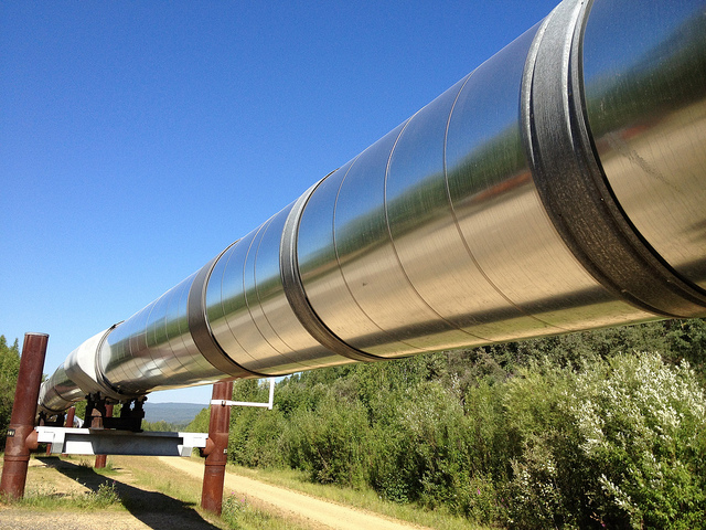 The pipeline construction process start and end with surveys to document topography, plan routes, and record the as- built status. Congested pipeline right-of-ways today make accurate surveys critical to planning routes. Whether front-end or backend, pipeline surveying needs to be done fast to meeting deadlines and make the pipeline operational.
Make sure your surveying company can overcome these hurdles during the pipeline construction process:
Pipeline surveys need to get done fast. Surveys need to be completed on time to meet proposal due dates and avoid pushing back project deadlines. But you can’t speed up a survey if it means losing comprehensive data. The only way to get all the data needed quickly is to use all the advanced technology available, rather than relying on manual surveying methods.
Speed up pipeline planning by using UAVs. Unmanned aerial vehicles (UAVs) can cover ground quickly, capturing high-accuracy data. Long battery life means a single UAV can complete a large scan. Mobile devices and a sophisticated data communications network transmit data quickly and cloud-based project management makes it available anywhere.
UAV scans are also great when questions come up while work is already in progress. They can provide a quick look that shows how the project has evolved and help figure out how to respond to problems or opportunities.
Pipeline survey areas are big. Pipeline surveying covers miles, not a few acres in someone’s backyard. The same tech that helps meet time constraints helps cover the ground. UAVs can survey 400 acres per hour and aren’t slowed down by rough terrain. UAVs can conduct scans from lower altitude than manned aerial vehicles, meaning they collect better data. This is the only way to cover a large survey area effectively in terms of accuracy.
Because UAVs reduce the need for pilots in the air or surveyors roaming the ground, safety is improved, too. The UAVs also have a high level of accuracy, meaning fewer problems in the field later.
Pipeline surveying captures a lot of data. Because of the large distances surveyed and the large amounts of data captured by laser scanning, an immense amount of data is created. Modern oil and gas pipelines, which need to be routed through more populated areas, need a high level of detail that basic topographical maps don’t provide.
But the data is only valuable if it’s usable, which means putting it into multiple formats, using GIS applications that provide detailed maps and support analysis, and using a cloud-based project management site to keep data available and streamline the workflow.
The GIS systems go beyond topographical maps to highlight geographical issues and environmental constraints plus existing pipelines, easements, and other factors. Having the data in the cloud means authorized users can access the files from anywhere there’s an Internet connection. You don’t need to worry about bringing the right printouts with you; as long as you’ve got a smartphone or tablet, you can call up the exact view you need.
Overcome the Roadblocks
The best way to get around the roadblocks common to oil and gas pipeline construction is to work with an experienced team—professional surveyors, GIS analysts, CAD technicians, engineers, and other technical experts—that uses the latest technology, high quality instruments, advanced data communications, and project management methods. Put all these together and pipeline surveying can be completed quickly and accurately, giving pipeline companies the information needed to plan, build, and operate their pipelines.
Landpoint is expert in applying technology to the pipeline construction process and can provide pipeline surveys covering miles of ground. Contact us for more information about pipeline surveys we’ve completed and how we’d complete yours.
Image source: Maureen