Aerial Imaging Services: A Primer

If you need aerial imaging done, what technology will you use? There are a lot of options open to you, and there isn’t always a clear winner. When choosing your aerial imaging services, you will usually choose both the imaging technology and the aerial vehicle. Any combination of these may be available, so let’s look at the options that may prove to be the best for your specific project.

Different Types of Aerial Imaging

Aerial imaging technology is the way an aerial survey scans the terrain and provides actionable data that can be analyzed. Today, there are two primarily used technologies: LiDAR and photogrammetry.

  • LiDAR. LiDAR technology is currently the most advanced aerial technology today, often used for aerial mapping with drones or other aircraft. LiDAR technology uses lasers to read the terrain below an aerial craft, creating extremely accurate sets of data. Lasers can penetrate brush and thin obstructions like cloth, providing accurate scans even on overgrown terrain.
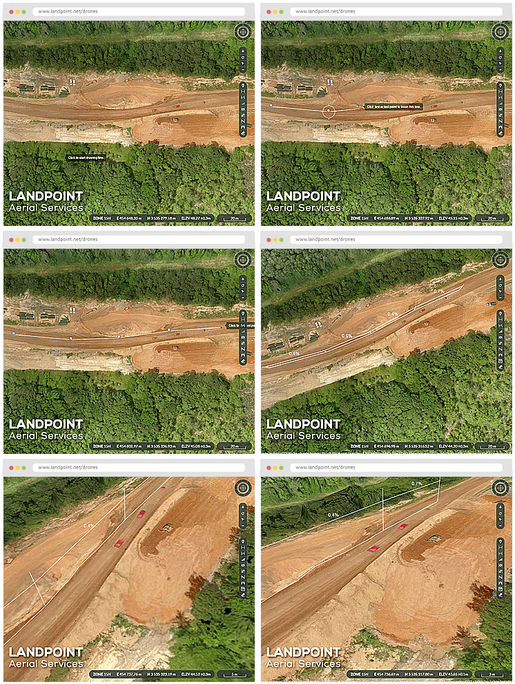
  • Photogrammetry. Photogrammetry is an older technology that uses photographs to generate imagery based on positioning, perspective, and other captured data. As photogrammetry uses photographs, it can provide coloring along with textured terrain, something that LiDAR scanning cannot. However, because photogrammetry uses 2D photos for analysis, it may not always be as accurate.
  • Combined. Some projects will use both LiDAR and photogrammetry together, producing a highly detailed 3D map in real color. This combination is typically the most intuitively understood by untrained observers, but it will also be more time-consuming and expensive, and may not be necessary for the vast majority of projects.

Your project’s budget and your needed levels of accuracy are going to determine which type of technology is better for you. While LiDAR will always be more accurate, photogrammetry is often more affordable.

Different Types of Aerial Vehicle

Once the surveying technology has been decided upon, the vehicle that is used to capture information needs to be chosen. Different vehicles have different strengths. 

  • Helicopter. Helicopters can fly for a long period of time and can hover close to the ground. However, helicopters need to be manned, and no matter how safe an inspection is, there is always the risk of crew injury due to an accident. Helicopters take longer to deploy than drones do, but can function in weather that may prove an obstacle to drone flights.
  • Plane. Planes are best for surveys over large plots of land, as they fly much faster and at a higher height. They are the most expensive option and do require a manned crew, which can drive up the cost. At the same time, planes are usually more stable during inclement weather than helicopters or drones are. Planes can also take some time to deploy due to the complexity of the craft and the need for crew.
  • Satellite. Traditional satellite mapping refers to a low-resolution map produced by satellites in orbit. Satellite data can be purchased through a satellite company, but it typically won’t provide significant enough resolution for most applications. It’s usually used for preliminary information about a location.
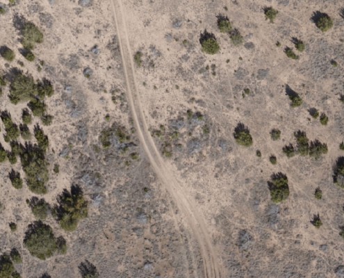
  • UAV. Aerial mapping with drones is rapidly becoming standard, as UAVs are the most versatile option. UAVs are able to fly close to the ground and capture high resolution imagery without any threat to a manned crew. UAVs can be deployed quickly and can finish most aerial surveys within a day, though larger surveys may tax the drone’s range and battery power.

Aerial imaging services are swiftly moving towards drone use as the primary platform for imaging services, but there are still circumstances in which a company may want to use a helicopter or a plane. 

Choosing the Right Aerial Imaging Services

Drone technology tends to provide the best benefits overall, and makes sense for most projects. Still, there are a number of different options available, depending on your project’s unique needs. Working with a company that can provide multiple types of aerial imaging, such as Landpoint, can ensure that you use the right technology for your project. 

Could your next construction or energy project benefit from a detailed aerial imaging service? Contact Landpoint to learn more about how you can put this technology to work

landpint-UAV-CTA

4 Hidden Benefits of Using Oil and Gas Drones

Drones can provide a number of benefits for companies in the oil and gas industry, from reducing costs to improving safety. By integrating drones into their operations, oil and gas companies can improve their surveying, regular maintenance checks, and safety and business processes. Here are some of the hidden benefits of using oil and gas drones. 

1. Provide Detailed 3D Models for Superior Planning and Accuracy

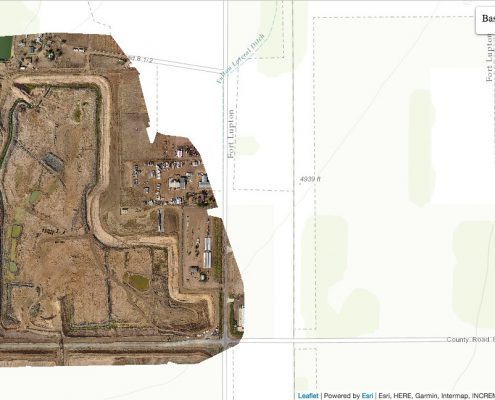
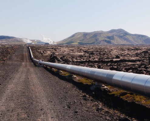
During pipeline development, drones can be used to produce accurate high-resolution surveys. As pipeline development becomes increasingly complex, it becomes necessary to produce increasingly detailed surveys. Drones can be used with technology like LiDAR to get detailed information about terrain, even if that terrain is overgrown and covered with brush.

Better planning and accuracy leads to fewer delays, which can be extraordinarily costly during the process of development. It also leads to fewer incidental issues; finding out that a survey is incorrect or incomplete after the fact can lead to the project needing to be dramatically revised. Altogether, drones speed up and improve upon the process of conducting a survey.

Detailed 3D models can further be used to simulate further development or to test out developments before ground is broken. These 3D models are accurate enough to be used to predict how buildings and structures will interact with future changes. 

2. Maintain Safety Inspections for Improved Environmental and Worker Safety

Oil fields and oil and gas pipelines may not be inspected very often due to the prohibitive cost of ground inspections. Drones can be used for regular aerial inspections, to identify potential issues with work sites, and to improve environmental and worker safety. These inspections can be done faster and more regularly than ground surveys, and so may catch potential safety issues before they become problems.

A single environmental issue can cause millions of dollars in damages, and worker safety issues can damage morale. Having drone safety inspections will increase accountability around a work site and improve its safety record. In addition to surveying for worker safety, drones can inspect locations that would otherwise be prohibitively difficult or unsafe for crew to inspect, due to remoteness, rough terrain, or suspected leaks of hazardous material.

3. Complete Surveys and Inspections for Lower Costs of Maintenance

Surveys and inspections completed through drones cost less, thereby improving an oil and gas company’s bottom line. Lower costs of maintenance can relate directly to the profitability of an oil and gas project, which is important given the fact that oil and gas companies can often fluctuate dramatically in terms of revenue.

In addition to surveying for worker safety, drones are also able to survey for issues related to damage, repair, and maintenance. Commonly, drones can be used to survey a pipeline for visible overgrowth, which can break down the pipeline over time and cause costly issues. Through proactive repairs and maintenance, an oil and gas company can reduce the chances of more serious, costly issues. 

4. Improve Equipment Maintenance through Integration with IoT

In addition to regular pipeline surveying services, drones can be connected directly with sensors and IoT devices to automatically detect issues with equipment. Heat sensors, for instance, can see whether equipment may be running too hot, while communications with IoT devices could discover whether there are meters that are running too high.

By integrating drones with advanced, new technology, an oil and gas field company can create an intelligent network that can identify potential issues with its equipment early, using big data to determine when equipment may fail before it shows signs of failing, and creating better business processes through its analytics. 

These are only some of the major benefits to using oil and gas drones; there are many more besides. Professional drone services have a wide array of benefits for oil and gas companies, from pipeline development to the maintenance of oil rigs and sites. For more information on how drone surveys and inspection can be a critical asset to your next oil or gas project, contact Landpoint today.

Learn-How-to-Increase-the-Efficiency-of-an-Oil-and-Gas-Pipeline-Project