What Sets a Commercial UAV Apart from a Consumer Model?
Ten years ago, UAVs were almost strictly within the purview of commercial applications. Today, many households have UAVs at home. UAVs are everything from toys for children to highly advanced, professional machines. But where is the line drawn? What are the differences between a commercial UAV and a consumer model? How can you tell the difference?
Here’s everything you need to know about what distinguishes commercial UAVs from consumer models.
The Commercial UAV
Today, commercial Unmanned Aerial Vehicles (UAV) are being used in everything from construction to the energy industry. UAVs are used for surveying, maintenance, and safety. But the UAV that is used for commercial use is a far cry from those that are in the standard home. An aerial mapping UAV will be much more technologically advanced than an at-home toy or hobbyist quadcopter, and much more expensive.
Still, there’s no strict delineation between commercial UAVs and consumer UAVs for a very simple reason: UAVs have become more and more advanced. Just as there is a sliding spectrum of cameras, from a simple phone camera to a professional grade model, there’s also a sliding spectrum between commercial and consumer UAVs. Between the two are “prosumer” (professional consumer) UAVs that are very similar to commercial models, but still are not generally used for commercial use. Consumer-grade UAVs in use today may very well have been commercial-grade UAVs 10 years ago.
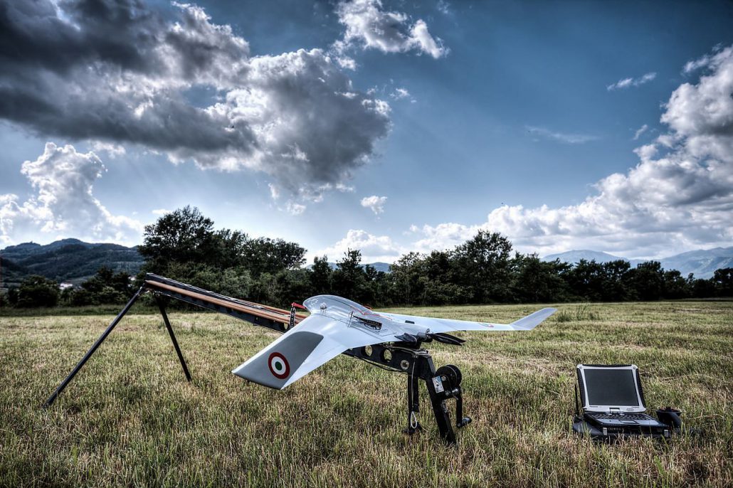
UAV about to take flight 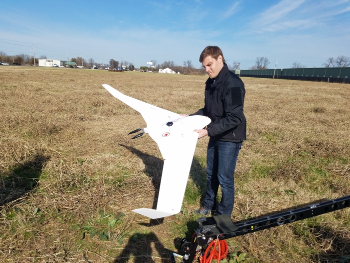
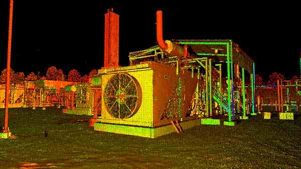
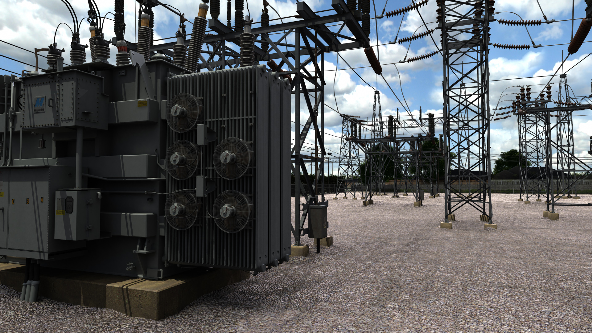
A UAV after a Survey 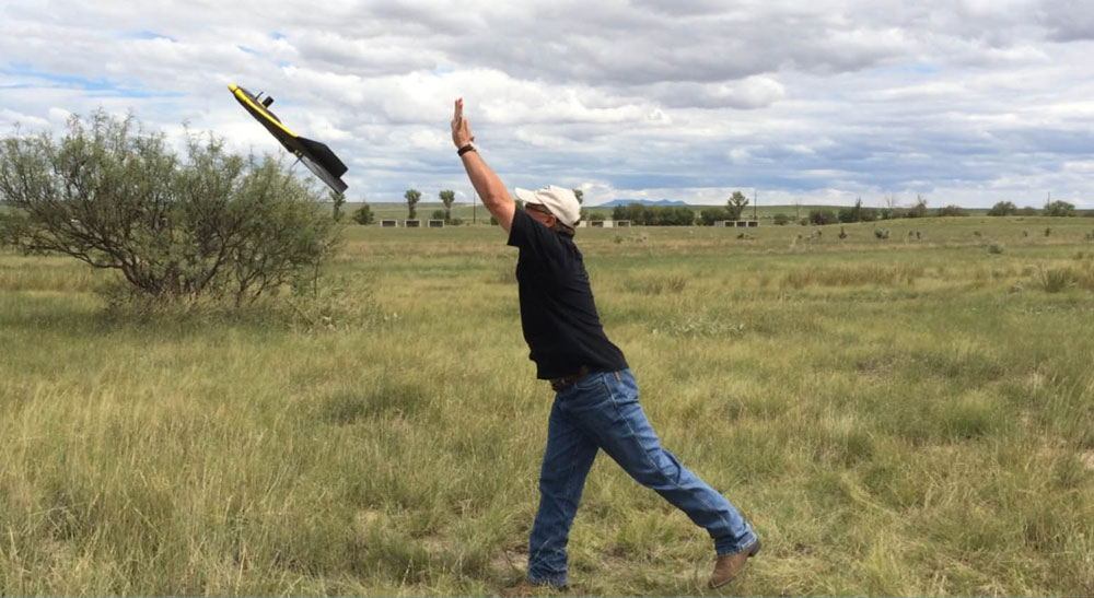
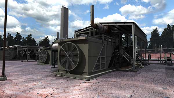
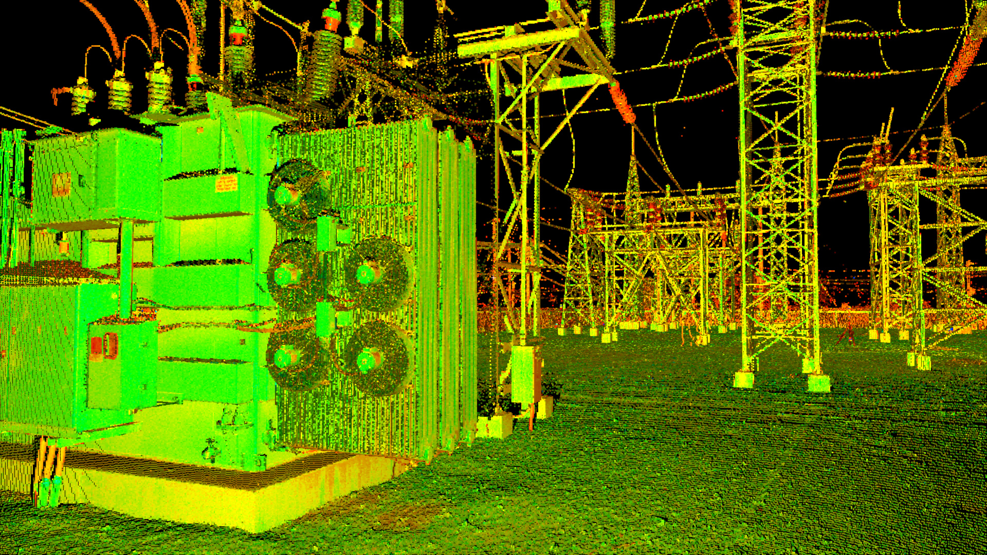
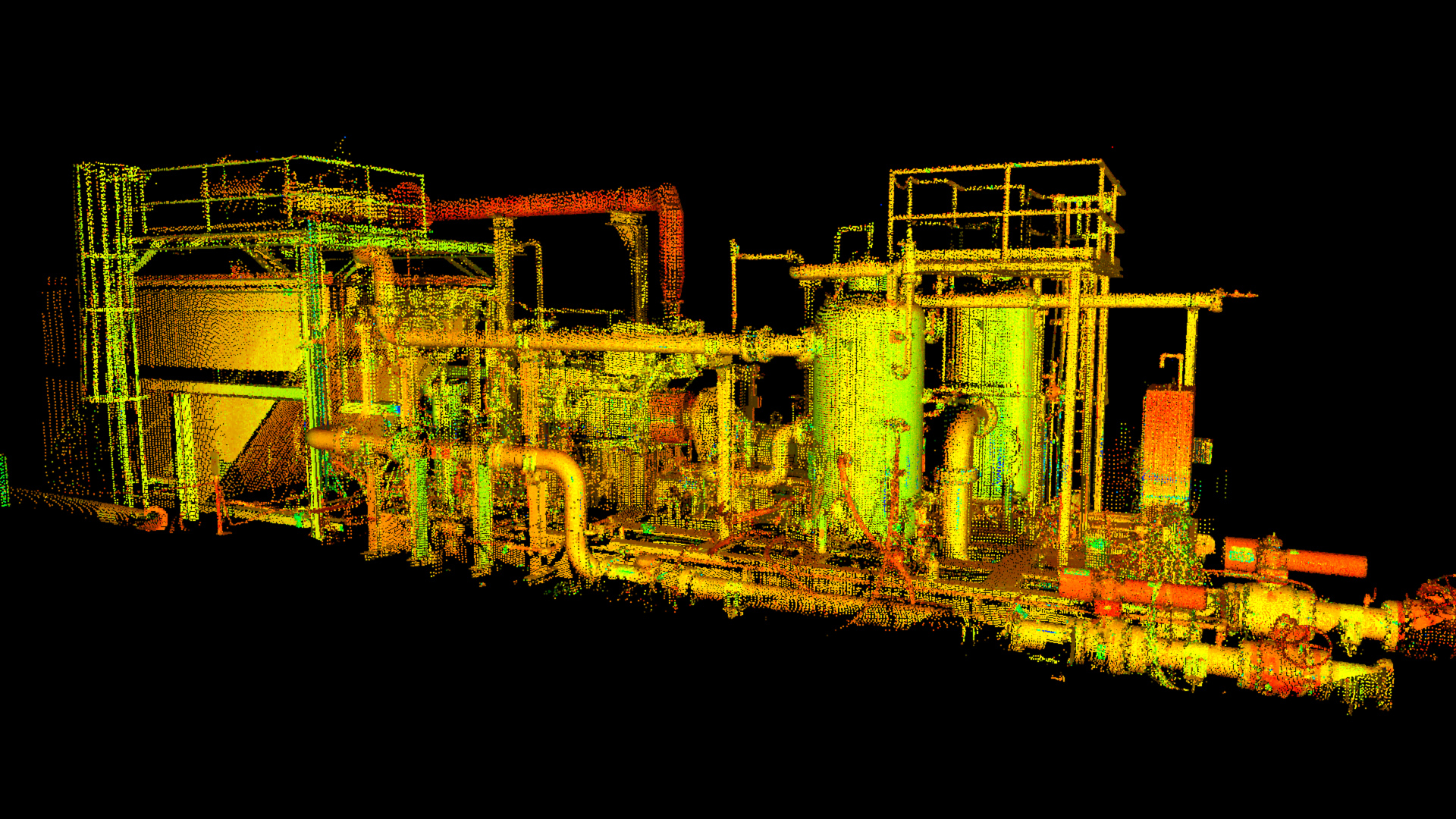
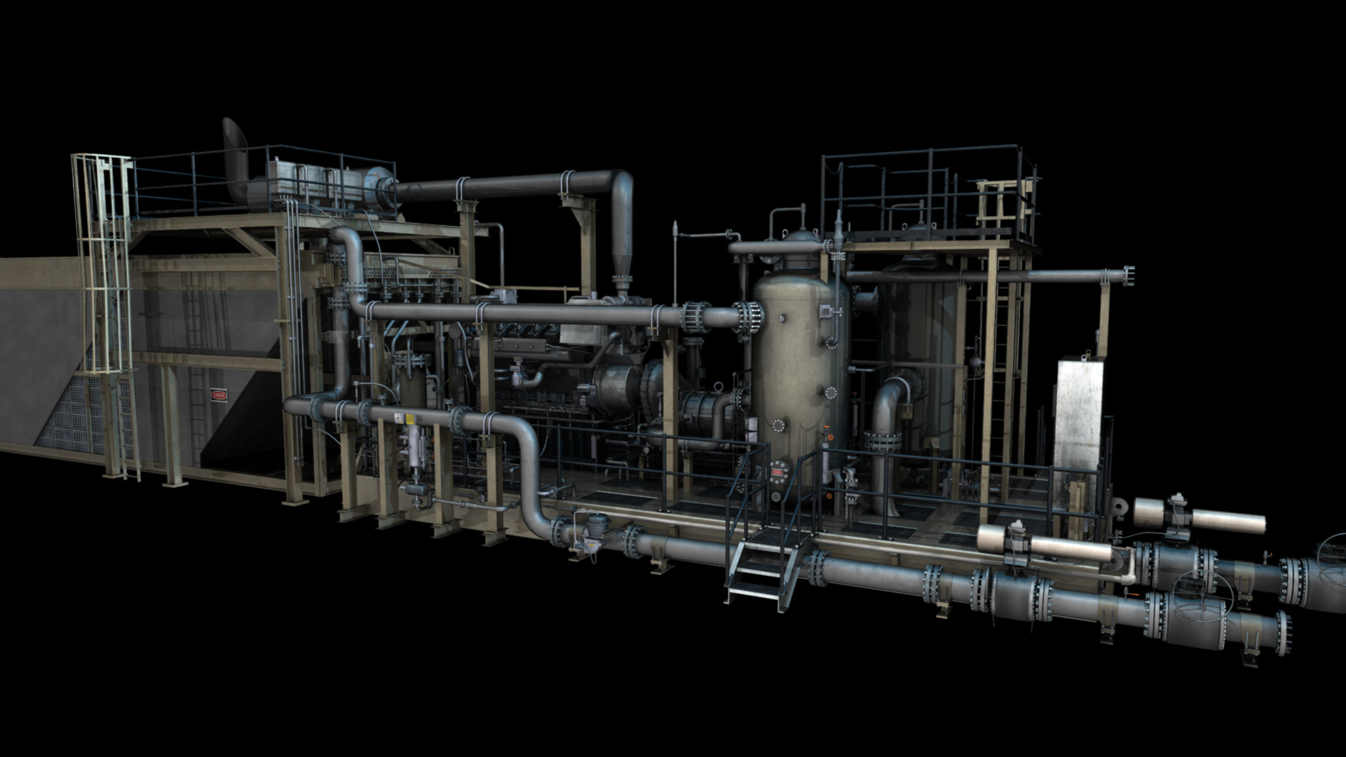
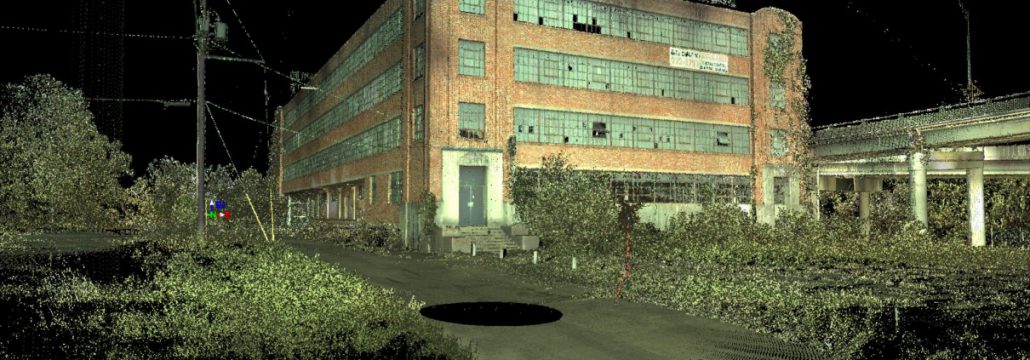
UAVs are now being used for 3D laser scanning
Here are the major differences between today’s commercial and consumer UAVs:
- Cost. Let’s begin with the most obvious difference. A commercial UAV is very expensive, with the cheapest being a few thousand dollars. More commonly, a commercial UAV is going to cost tens of thousands of dollars. Meanwhile, a prosumer UAV is likely to cost about a thousand dollars, while a recreational, consumer UAV may only cost a few hundred. Recreational UAVs are getting cheaper every day, but commercial UAVs are getting more technologically advanced, and thus more expensive.
- Support. A commercial UAV is more likely to come with in-depth support. While many consumer or prosumer UAVs will still have customer support available, the customer support will be more along the lines of offering a refund if the UAV is defective. Meanwhile, commercial UAVs have support services that can help them with both technical and operational issues.
- Durability. UAVs crash all the time. It’s just a fact. UAVs are extremely stable in most conditions, but during heavy winds, they simply may not be heavy enough to maneuver themselves. But when commercial models crash, they’re usually fine. Prosumer models are going to be very durable and will be able to take a lot of hard hits. Cheaper, consumer models could break on the first crash.
- Sensor control and integration. Commercial UAVs allow for sensor control on a granular level and integration with precision solutions. Some UAVs are used for surveying, and others may be used for things like film production. Either way, they need to have the right level of sensor control. They have to be able to capture their exact location and maintain consistency.
- Customization. Commercial UAVs can be used for many purposes, and consequently, must be built so that they can be altered and customized. Consumer UAVs are usually built for a single purpose. They may be built to carry a GoPro, or to carry small packages. Commercial UAVs are more commonly used for things such as surveying, but an aerial mapping UAV is likely to be a commercial UAV tailored for that purpose.
There are also some practical differences. Using a UAV for commercial flight requires different licenses and permits than using one for recreation. Consumer-grade UAVs are going to be billed as being good for consumer needs, whereas commercial UAVs are going to be billed for specific industrial applications. Consumer UAVs cannot be used for most of the things for which commercial UAVs can be used.
What Are the Similarities?
Of course, there are still similarities in commercial and consumer UAVs. In fact, at their core, they’re almost identical. Commercial UAVs have specifically been improved upon for commercial use. That means they’re better in virtually every way. They have longer battery life, they’re larger, they have more features, and they’re easier to control.
Both the consumer and commercial UAV markets are steadily growing. On the recreational side, people are enthusiastic about the opportunity to operate their own UAVs. On the commercial side, the applications for industrial UAVs are expanding by the day. For more information about the difference between consumer and commercial UAVs, contact the experts at Landpoint.