What Should You Look for in a Utility Inspection Provider?
Finding a reliable utility inspection provider is important both in terms of cost and safety. Whether a company is running older systems, brand new systems, or middle-of-the-line systems, there are unique challenges that will be faced. A utility inspection provider is the first line of defense against more significant and damaging issues.
But how do you find a utility inspection provider that will work well for you?
Here are a few important questions to ask.
What equipment do they have experience in?
As equipment ages, skills gaps can be introduced. There may not be technicians who are familiar with equipment from the 70s, 90s, or even 00s. But it also isn’t always the oldest equipment in operation that gives a company the most problems. Many older technologies are reliable, and newer technologies can require additional training.
With all that in mind, companies need to be conscientious about the technology they have and whether their utility inspection provider is well-versed in it. Ideally, the provider should have technicians who are specialists in every type of technology the power company is using.
Do they have advanced software or hardware technology?
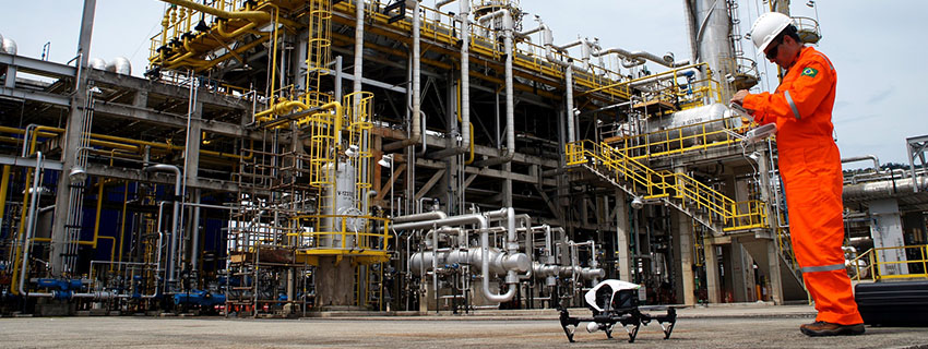
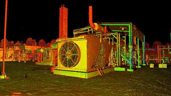
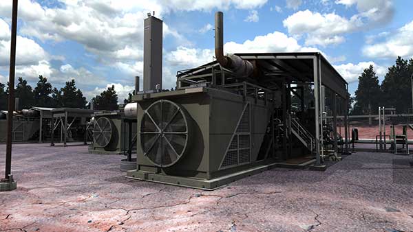
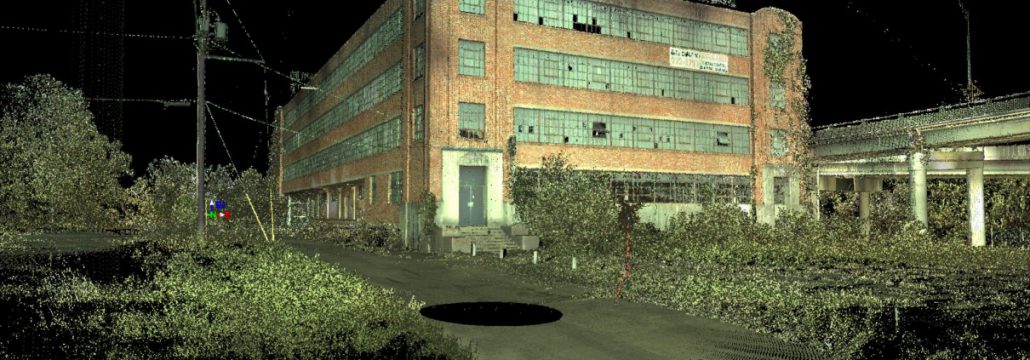
The role of a utility inspection provider is changing; it’s becoming far more robust. With new, advanced solutions such as drones and machine learning, inspection providers can learn much more about a system, and identify potential issues with greater levels of reliability. But not all inspection providers have changed over to new technology. Ask about the provider’s systems, how they deliver their inspections, and what they’re doing to modernize their solutions.
Are there any testimonials or reviews available?
Customer testimonials and third-party reviews are a great resource. While they can’t always tell you the detailed benefits of working with an inspection provider, what it will do is tell you any major problems that many people have experienced. You can also take a look at the Better Business Bureau to see if there have been any formal complaints lodged. Ask the provider about any negative reviews you see. They may be able to explain it, or even describe changes that they’ve made since.
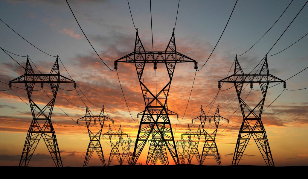
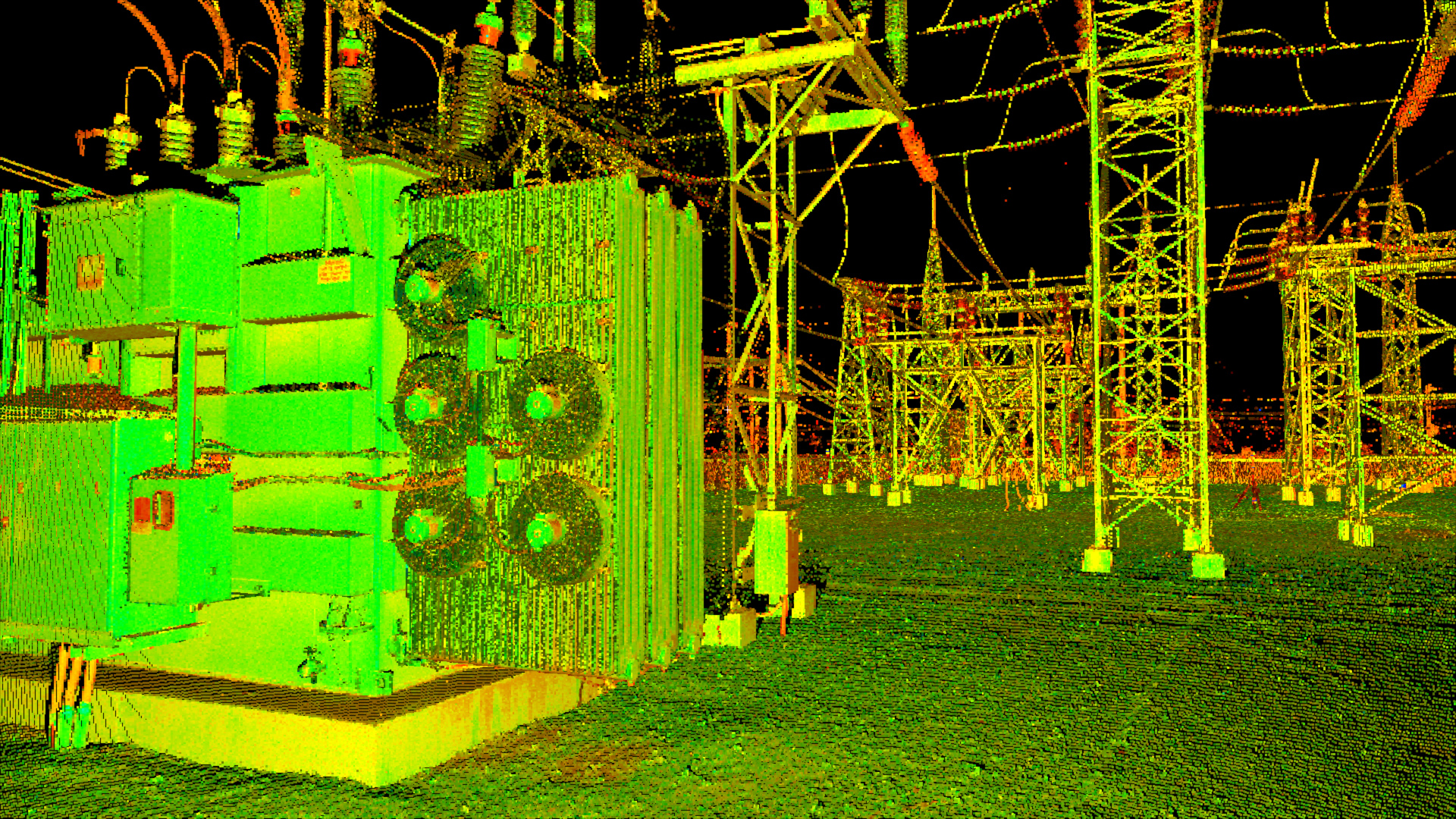
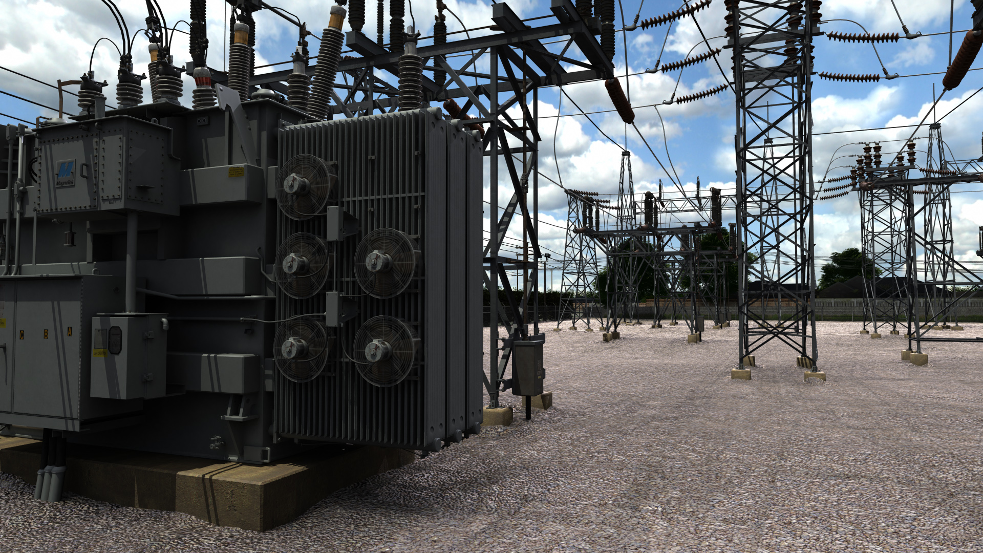
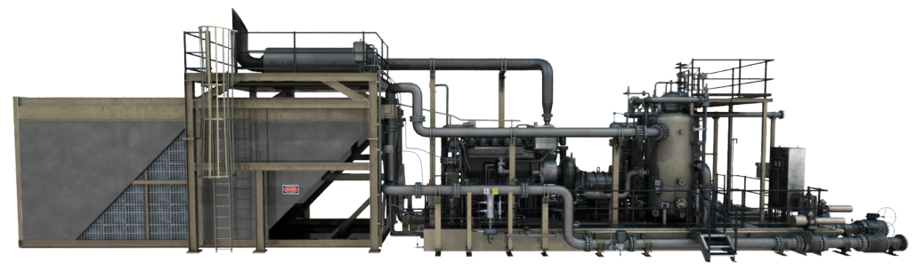
Utility Inspection 
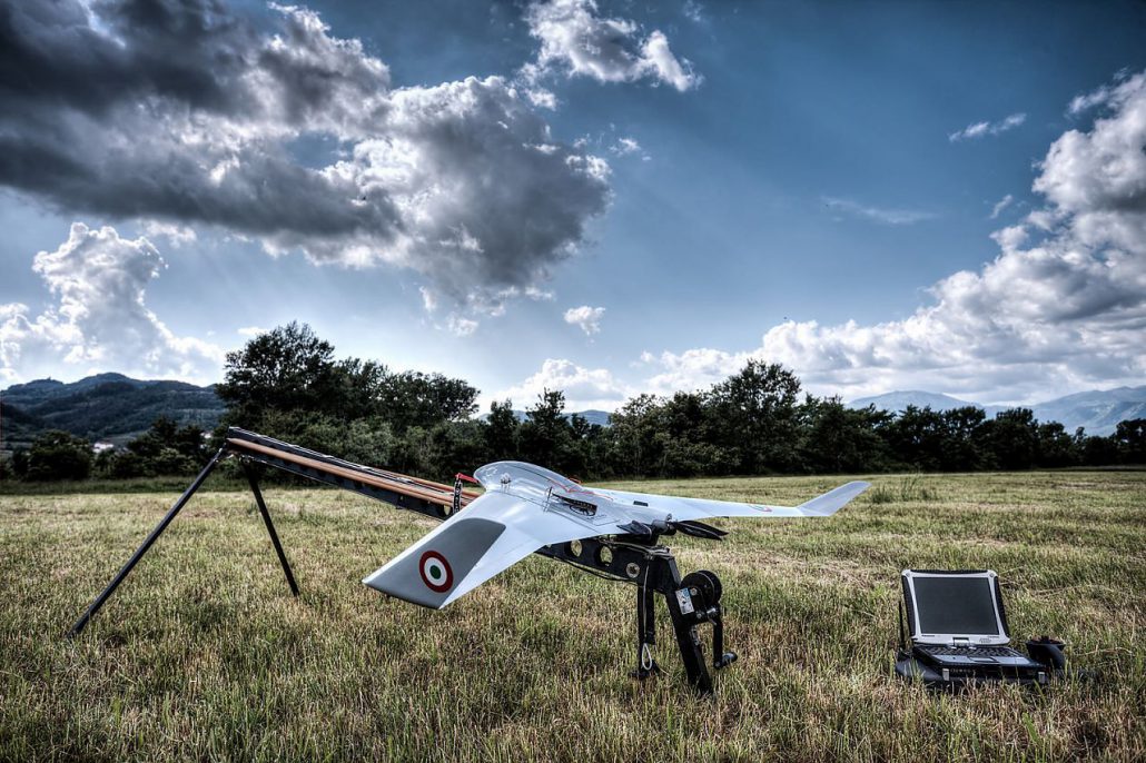
Drone Power Line Inspection 
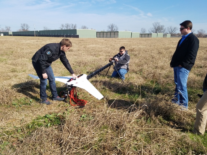
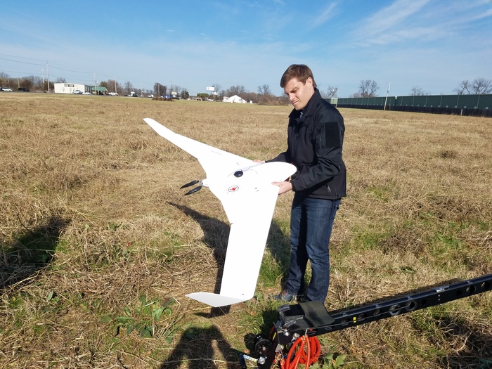
C-Astral drone being launched
What are the costs involved in the inspections?
One of the advantages of better technology is that an inspection provider can pass savings along to the customer. With better technology, inspections can be done safer and faster. If you’re vetting several inspection providers, you’ll want to know which have the best rates. But don’t choose based on rates alone. While one provider might have slightly higher rates than others, they may also have greater levels of accuracy.
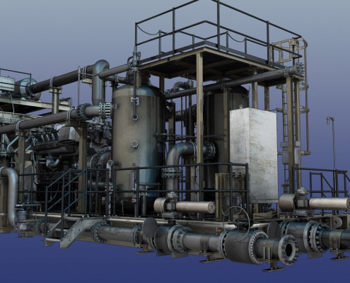
Are they specialized in any particular energy industry?
Does the company deal with city electrical inspection? Or private solar systems? UAV for energy products will vary, depending on whether the company manages renewable energy sources or traditional energy sources. Renewable energy sources are continuing to emerge into the mainstream and are becoming an important part of the global energy future. Traditional energy sources are still necessary and vital, and they require different types of inspections. It’s best to deal with inspection providers who have clients with the same industry you’re in.
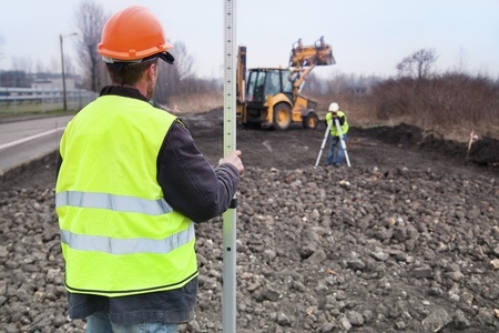
When can they get involved?
There are different levels to a utility company, from first development to later maintenance. Whether the company is better at the initial land surveying and project planning or focuses primarily on maintenance and repairs will matter. Your company may want to have a valuable partner that can work with you from the beginning to the end… or you may just need a company that can help you with your general maintenance.
It’s worth it to take a little more time to explore your options when trying to find a utility inspection provider. After all, the inspection provider is going to be guarding your most important assets. If you want to learn more about how inspections can help your organization, and how best-in-class technologies matter, contact the experts at Landpoint.