I Connect, We Connect; Life with MS

In honor of World MS Day and the Texas MS 150, Jeff Armbruster, VP of Sales & Marketing at Landpoint, has bravely chosen to share his story of life with multiple sclerosis. Jeff will be riding the Texas MS 150 virtually this year due to COVID, raising funds to help the MS Society find a cure for Multiple Sclerosis. If you would like to follow Jeff’s MS150 journey and help him reach his fundraising goal, follow this link.

I Connect, We Connect; Jeff Armbruster’s Story

“October 14th, 2009 at 1:30pm, my family’s life changed forever when I heard the words, ‘You have MS.’ In January of 2009, I shoveled snow at 5am before a trip to Houston and felt a pop in my lower back. I went on my trip and then to a doctor who diagnosed a ruptured disc. Through therapy, I was able to walk the stage at graduation in late April. On Friday before Memorial Day, I picked up a cooler while loading my truck to take the family to our campsite at Atwood Lake when I felt a bigger pop in the same spot. We had our holiday, but the pain was terrible. Tuesday following the weekend, I had to leave for a business trip to Houston again. My flight through Atlanta was delayed, so I had to run through the airport to avoid missing my connection. Wednesday morning, I woke up to discover my right foot was numb. Each day, the numbness moved up my leg until it got to my waist. My flight back from Houston was late by 2 hours, thanks to an accident at Atlanta’s airport. I was forced to run through the airport again to avoid missing the last flight back home. Saturday morning, I woke up completely numb in both legs from the waist down. Back surgery to repair the disc was scheduled for the earliest possible date, July 5th.

The surgery was successful, but my legs barely improved. On July 15th, I was allowed to take my first shower, so I turned the water as hot as I could stand it and enjoyed the water hitting my back. I got dressed and tried to walk to the mailbox and made it about 10 feet from the front porch when I felt a tuning fork sensation run down from my lower back to my toes, and my legs quit working. I had to grab my knees to stop them from collapsing, and I yelled for help. After that day, every time I took a shower or got overheated, my legs would stop working. New symptoms started whenever I took a hot shower or got overheated. My entire body would vibrate furiously, and I would have to lay down. I would sleep for hours, even after sleeping through the night. I walked incredibly slow and could only take a few dozen steps. I drug my left leg. I would have to sit and rest before going further. I begged my doctor to do something, telling him that something else must be wrong. He continued to blame it on the potential damage to the nerves as they spilled down my legs as they exited the spinal cord. He kept saying that I would have to learn to live with it. But, the symptoms worsened, and I began to feel excruciating pain in my legs. I now had insomnia and incontinence. I was begging all of my doctors to do something.
I finally convinced my primary care physician that something was seriously wrong, and he scheduled another MRI for me. Since I had an MRI prior to my back surgery, they moved up my spine one level from the lumbar area to the thoracic region. The MRI showed a lesion at the T-10 vertebrae area. He sent me to a neurologist who ordered three more tests; an MRI of my entire spine and brain, an evoked potential test, and a spinal tap. The MRI showed twenty lesions in my brain and two in my spine. The evoked potential test was normal, so my Optic Nerve was okay, but my spinal tap showed anti-body markers for MS. On October 14th, I learned that I had Multiple Sclerosis.

On October 15th, 2009, every day after that started with a shot. I was giving myself a drug to stop the progression of MS. While I didn’t get new lesions, the injections didn’t work. My symptoms increased, and new ones started. I began to get debilitating cramps in my feet, toes, and calves, so I started a new drug to relax the muscles. In 2012, I started a new disease-modifying therapy that required an infusion every 28 days. I was so relieved to not start my day with a self-administered shot. After encouragement from my wife, I started another drug that was a twice-daily pill that was supposed to speed up how fast I walked. Eight days later, I could walk at regular speed. These two new medications had an amazing effect on my MS. In 2014, I was finally able to walk the track at a WalkMS Event. I stopped using a wheelchair for good in November 2014. Then in 2015, I rode 25 miles in my first MS150 bike ride. By 2017, I was riding the entire route from Houston to Austin. In 2012, I was invited to join the MS150 steering committee as its scribe. I was also a committee member for WalkMS and a top fundraiser.

While I was able to get better, many of my friends living with MS got worse. It’s the slow disability that builds with a chronic disease like MS. Several chose to end their lives because of the severe depression caused by MS and the pain that many suffer. With some, their MS turned from Relapsing and Remitting MS (RRMS) to Primary Progressive MS. Two-thirds of those diagnosed are women. In addition, there is a higher percentage of veterans returning from Vietnam and Gulf War I than are diagnosed in the general population.

Researchers still do not know the cause of multiple sclerosis. In honor of those battling MS, I will continue to work for a cure as long as I am able to.”

In honor of Jeff Armbruster, your contribution will support groundbreaking research and life-changing services for people living with MS. With your help, we’re one step closer to a world free of MS.

Your generosity makes a big difference. Together we’re changing lives.

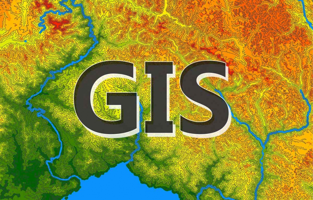
What Should You Look for In a GIS Mapping Services Provider?

You’re looking for a GIS mapping services provider. But how can you tell which service is the right service for you? While there are many GIS mapping services providers out there, not all GIS & mapping services are made equal. Today, we’re going to take a deeper look at what you should look for in a GIS mapping services provider.

GIS Mapping Options

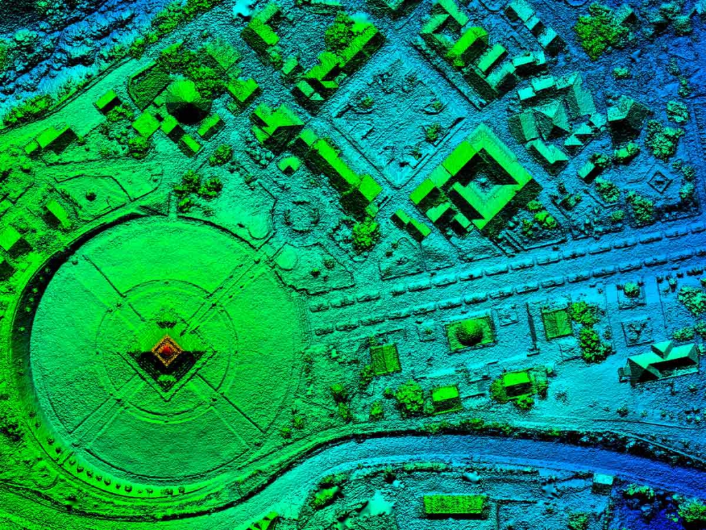
How is the data being acquired? Photogrammetric imaging? LiDAR? Will the mapping service use fixed-wing drones or quadcopter drones? The best GIS services company has numerous options for collecting GIS information—because different scenarios require different things. In some cases, it’s better to have a fast-moving fixed-wing drone. In others, it’s better to have a quadcopter. And in all cases, LiDAR provides more accurate GIS data, but it doesn’t provide data with colors or textures.

A top GIS provider like Landpoint can provide virtually any type of GIS mapping service that you want, getting you the raw data you need for the next step of analysis and simulation. If you want your data captured quickly over large volumes of terrain, then you likely want LiDAR capture through fixed-wing UAVs. If you need more maneuverability and high-resolution data, you may need LiDAR capture through quadcopter UAVs.

And if you need textures and colors, it may be that you need a combination of LiDAR scanning and photogrammetric scanning. It all depends on your personal needs and the environment—and it’s something that a well-qualified GIS services company should be able to walk you through.

Cloud-Based GIS

Cloud-based GIS is becoming more popular due to the extensive resources necessary to crunch large data sets. With a cloud-based GIS system, data can be automatically sent to the cloud when it’s recorded. The power of the cloud can be used to analyze the information and persistent, synced cloud storage can be used to save the data forever. Even better, this data can then be accessed by key stakeholders from everywhere in the world. It makes sense to go with a company like Landpoint that can provide completely cloud-based GIS services.

When data is stored on the cloud, it’s never lost. You’ll be able to access your data now and a decade into the future. While that may not seem to be a priority, what happens when you want to make further changes or alterations to your worksite? What happens if you need to run comparisons to the terrain as it used to be—or analyze whether environmental changes have occurred? Cloud-based GIS services aren’t just advantageous because they provide additional resources. They’re more advanced because they can save your data forever.

Unlimited Data Sizes

Landpoint provides unlimited data sizes—something that not all GIS services can provide. GIS and mapping services now consume more data than ever, because the levels of resolution and accuracy are constantly increasing. If you want to be able to capture the highest resolution, most involved data possible, you need unlimited data sizes. This provides you with the information that you need to complete simulations, make decisions, and analyze your site. 

Experience in Your Industry

Ideally, you want to work with GIS services that have some experience in your industry. Have they worked with gas pipelines before? Have they worked with housing developments or environmental studies? A GIS mapping services provider should be skilled at the type of GIS mapping that you need and have at least some experience within your industry.

Landpoint has experts and specialists in numerous industries, ranging from oil pipelines to construction. A robust and diverse GIS solution, Landpoint has clients across a large variety of disciplines—and that makes Landpoint uniquely well-suited to collect and analyze GIS information for these industries.

Every company in every industry has different reasons for conducting GIS mapping. It’s important that your GIS data properly reflect your goals, whether it’s ensuring that water runoff doesn’t harm the environment or locating the best sites for new buildings and structures. Raw GIS data must be accurate as possible, but how it’s processed and analyzed has to be similarly precise.

In-House Data Processing 

What happens when data is processed in-house? It’s faster, cheaper, and more accurate. When data is processed in-house, your GIS mapping services don’t need to rely upon a third-party solution to return the results. They are able to remain in complete control of the results and can ensure that the data is always available to you. And because they’re handling everything in-house rather than outsourcing it, they can also provide cheaper data processing services.

Landpoint does all its data processing end-to-end, so the data is collected via Landpoint systems, analyzed through Landpoint, and distributed through Landpoint. Not only does that improve productivity and cut down on time, but it also reduces the potential for import/export errors. Otherwise, it might be difficult to ensure that the data is correct cross-platform.

What to Look for in a GIS Services Company

These are the technical proficiencies that you should look for in GIS services: cloud technology, in-house data processing, and more. But you should also look for some other basic skills in a GIS services company. Your services company should be responsive and easy to work with. They should be able to get your data capture and data analysis on a schedule. And they should have the technology and employee hours to work with you conscientiously to make sure you get the data you need. 

Ask your GIS company the following questions:

  • How do you capture GIS data?
  • How is the GIS data processed?
  • Do you process all the GIS data yourself?

If you need to learn more about GIS mapping services and the GIS services available to you, the time is now. Contact the experts at Landpoint to find out more about what makes our GIS services special.

Surveys at Scale - How Landpoint Tackles Survey Projects of Any Size