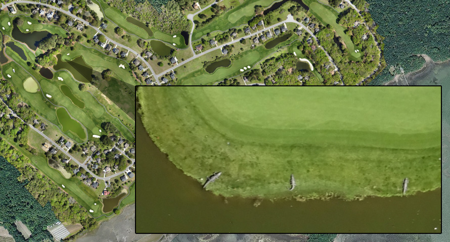
High Resolution Aerial Maps: How Detailed Are They?
Many people considering unmanned aerial vehicles (UAVs) for land surveying for the first time are excited about the speed and cost benefits they offer, but are put off exploring the technology further. After all, getting a survey that’s cost effective and delivered quickly doesn’t mean all that much if it doesn’t support a high-quality project.
In this post, we’ll explore the concept of high resolution aerial maps, and show how any concerns one might have about the detail and accuracy of UAV surveys are unfounded. High resolution aerial maps are generally created in one of two ways: through UAV photogrammetry or through UAV laser scanning (LiDAR).
UAV Photogrammetry
Photogrammetry essentially refers to using photographs to create highly detailed maps or 3D models. When attempting to create highly detailed, accurate survey deliverables with UAV photogrammetry, it’s important to keep in mind that the UAV itself is only one small part of the equation. In order to get the best results, you need a high-resolution camera, a suitable drone, and data processing/mapping software.
Since UAV photogrammetry is essentially just taking a large number of pictures from above, one of the best ways to ensure high-quality data is to follow photogrammetry best practices. Collecting quality imagery at the beginning will ensure that your software is able to produce great results.
As the drone flies, the camera will generally overlap individual images by as much as 80-90%. UAVs are capable of accomplishing this level of overlap only because they fly on automated flight paths. No human pilot would ever be able to control a drone in a manner that allows this level of overlapping. This also means that it’s very important for you to get all the images you need on the first flight. Because of overlapping, it will be difficult to integrate photographs taken under different conditions later on.
UAV LiDAR
LiDAR, also known as aerial laser scanning, works by having a scanner bounce millions of light points off the object being scanned and then tracking the trajectory of those laser points as they return to the scanner. The data collected from the scanner is then combined to form a single point cloud, which provides a very detailed representation of the object or terrain being scanned.
Laser scanning has been in use for land surveying purposes for a while now, but the ability to pair it with UAVs opens up new possibilities. For instance, the speed at which the data is collected allows organizations to spend more time analyzing data and using it to draw deeper insights and less time on gathering the data.
As is the case with photogrammetry, you should view the UAV as just the vehicle through which the data is captured. It does not play a defining roll in how detailed and accurate the final product is; instead, pairing it with high-quality LiDAR equipment is the best way to ensure you get the results you’re looking for.
Whether you choose photogrammetry or LiDAR scanning, you should be able to achieve accuracy levels as low as 1-2 cm, depending on the conditions and the equipment you select. This represents accuracy that is as good as or better than land-based surveying, at a small fraction of the price or time required.


To learn more about high resolution aerial maps and how they could benefit your project, contact us at Landpoint today.