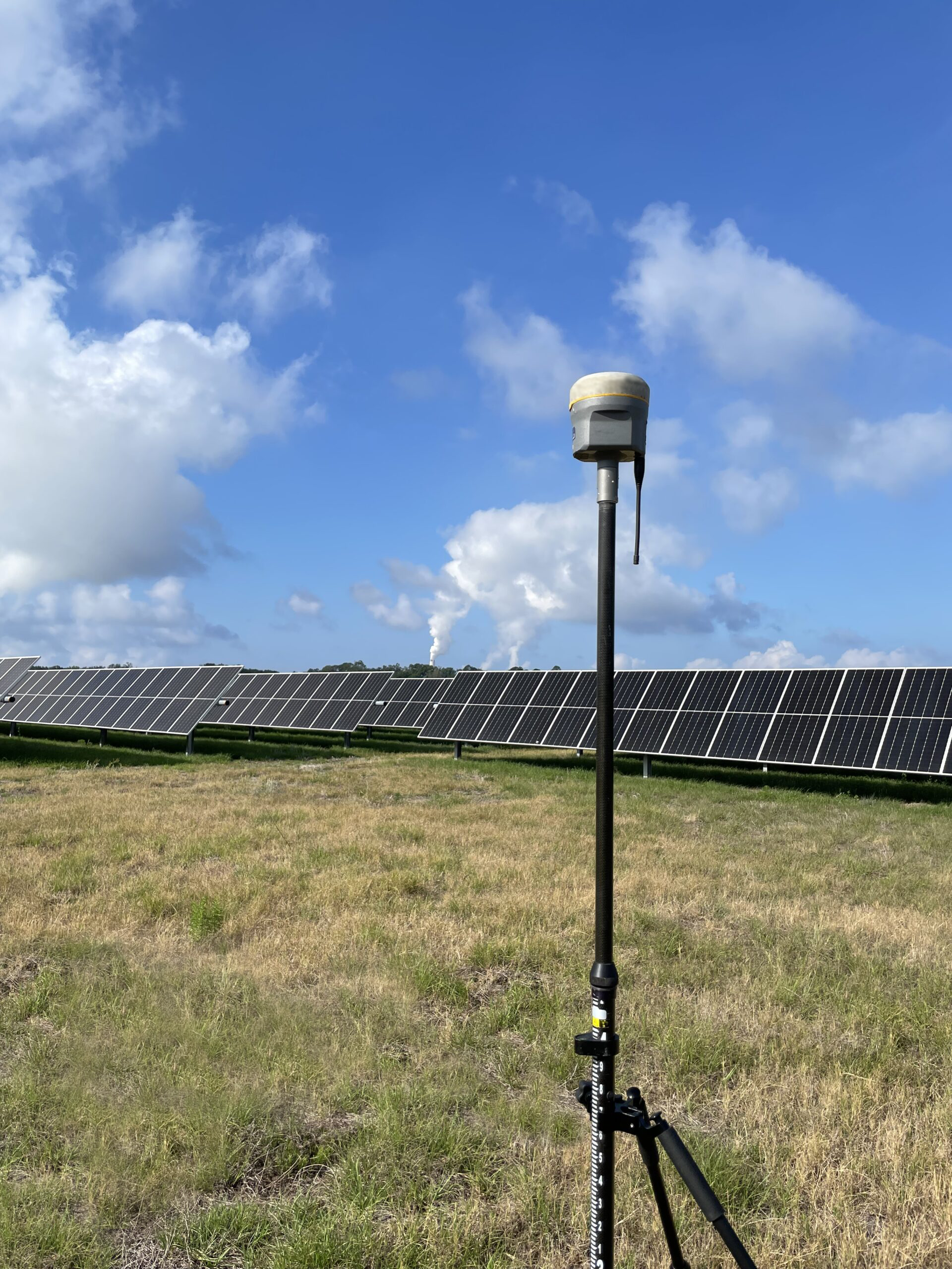
solar-energyWith so much interest these days in finding an alternative to fossil fuels that is both affordable and renewable, it’s no surprise to see a rapid uptick in the number of utility-grade solar energy projects, particularly in the solar-rich states in the southern part of the country. This rush toward solar, while certainly understandable, has also created a whole new set of challenges for the developers themselves. In many cases, they’ll be overseeing a solar project for the first time, making it difficult for them to identify and plan for the factors that can end up making a project go off schedule and over budget.

Fortunately, there are a variety of land surveying technologies that are perfect for overcoming the unique challenges of developing a solar energy farm. With the help of a land surveying partner that has direct experience working on solar energy projects, developers will be able to use these new technologies to gather the data they need to help ensure that construction does not end up taking longer than the originally agreed upon schedule. In turn, this helps a developer get their project online and producing energy as quickly as possible, allowing them to see a faster return on investment.

Read on to learn more about the technologies that can be used to help keep solar energy projects on schedule.

1. Unmanned Aerial Vehicles

Unmanned aerial vehicles (UAVs) are able to address some of the unique challenges of solar developments. This is because they can collect land survey data at a much faster rate and with a much higher degree of accuracy than traditional land-based surveyors ever could. This helps speed up the surveying process and ensures that the actual development work of the project will be able to start on time.

Solar farms are unique in that they often need to cover very large areas in order to produce adequate amounts of energy. In addition, a transmission infrastructure is needed to take the energy from the solar site to where it can be used. Since UAVs are able to cover very large distances in a relatively short period of time, they help ensure that the large footprint solar energy projects often have doesn’t lead to delays.

Http iframes are not shown in https pages in many major browsers. Please read this post for details.

2. Geographic Information Systems

Geographic information systems (GIS) are used to provide highly detailed maps which are created based on multiple layers of land surveying data. When used to support solar energy projects, GIS technology can help take a lot of the guesswork out of the planning phase, which in turn helps ensure rapid development and better project results.

With GIS, developers can perform tests to better understand how their decisions will affect the final development. For instance, they can use data from weather patterns to better understand how solar collectors should be positioned in order to maximize the amount of energy that is collected.

This slideshow requires JavaScript.

3. 3D Laser Scanning

Finally, 3D laser scanning, also known as terrestrial LiDAR, is one more example of a land surveying technology that can be used to gather better land surveying results to support solar energy projects. With LiDAR, thousands of laser points are bounced off the terrain that’s being scanned. The scanners then track the flight path of the laser beams as they bounce back and then gather that data into a point cloud. The point cloud can then be used to create a very detailed 3D model of the terrain, providing one more tool that developers can use to ensure they position their solar collectors in the most effective way possible. By getting the most detailed information possible and making the right decisions to begin with, developers can remove the need to perform time-consuming and expensive rework later on.

To learn more about land surveying services for solar energy projects or to get started with your project, contact Landpoint today.

ebook-cta