Why Accurate Geospatial Data is Critical to Solar Farm Development
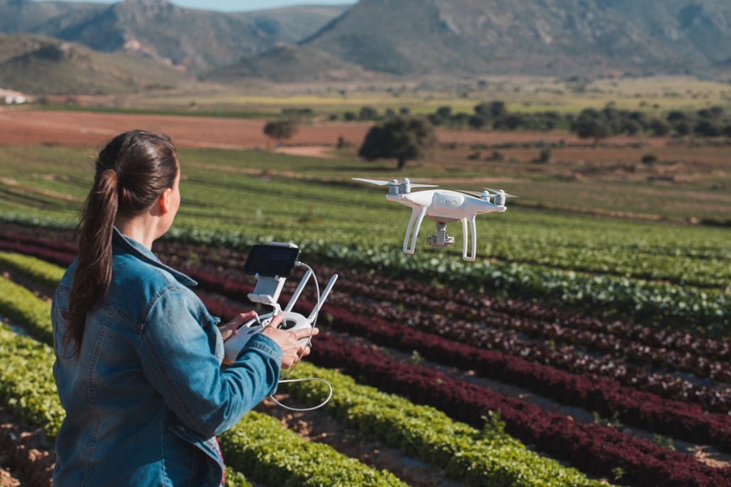
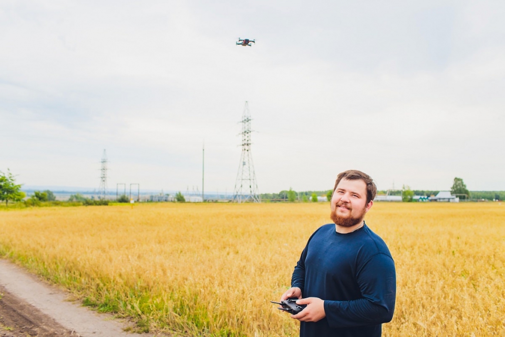
Geospatial data, including GIS, can be used throughout a solar farm development — to better analyze and simulate terrain, to identify potential issues with an on-going development, and to analyze and optimize performance. As geospatial data (and drone technology) become more advanced, it can provide more robust surveys and scanning, and more complex features.
Here are some reasons why geospatial data is critical to solar farm development today.
Collecting Data Before Development
Geospatial data can be used to survey ground before development, to properly identify boundary lines, and to find the areas that will need modifications to elevation and other adjustments. The more data that’s collected before development, the easier it will be for the development to engage in preparation and planning — and that includes estimating budgets and deadlines.
Reducing Setbacks and Reworks
Geospatial data allows for complex simulations of solar farms before ground is broken. During development, data can be used to identify the best potential layouts, given the different levels of sunshine throughout the year. Having simulations reduces the chances of future setbacks and reworks, by identifying potential issues before they become problems.
Ask any construction company, and they’ll tell you: The initial project usually doesn’t make up the bulk of the cost. Setbacks and reworks are a significant amount of the budget for a construction, simply because they require that everything be reset and redone. That also pushes deadlines back considerably, in addition to increasing budgets.
Identifying Maintenance and Repair Issues
With mobile GIS technology, solar farms can be surveyed on a regular basis to determine whether there are any maintenance issues or repair issues that need to be addressed. Without aerial surveys, solar farms require manual surveys. These surveys may not be able to pick up on maintenance or repair issues quickly, and can consequently lead to costly (and sometimes dangerous) repairs that need to be made.
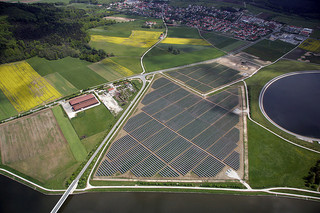
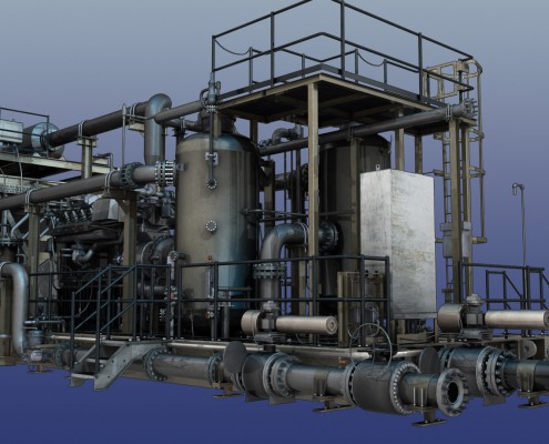
Solar Energy Plant 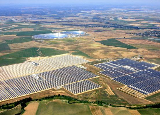
Solar Energy Plant 
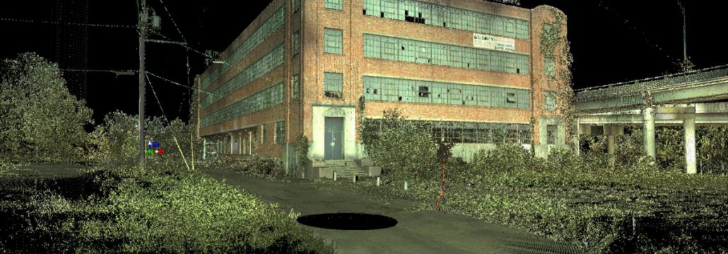
A Solar Field
Solar panels, for instance, can overload if they get blocked up. If something falls on a solar panel and blocks the sunlight out, the panel itself needs to work harder to compensate. Drones can identify these types of problems before they lead to permanent damage, and maintenance personnel will know exactly where to go to fix the problem.
Optimizing and Analyzing Efficiency
Through geospatial data, solar farms can analyze where the sun falls, where the best production is, and how the solar farm is functioning in general. This data can be used to further optimize and analyze the solar farm’s efficiency. Solar farm efficiency is everything: The more efficient and productive the solar farm is, the more successful it is.
As solar farms become more competitive, it becomes more important to boost this efficiency with technology. In coming years, we will likely find out new things about how to optimize solar farms, and how to improve upon their yield.
Avoiding Unexpected Roadblocks
Solar farms are made across large swathes of land, often rural. It’s not always easy to identify potential problems, such as the terrain around the farm, or developments next to the farm. Geospatial data can alert developers to potential environmental issues or building-related issues around the solar farm, before they become problems.
A solar farm might need to model a development happening right next to it, and how it could impact any solar panels in that area. Solar farms might also need to model the weather, and determine how efficient their solar farm will be, to make sure that the farm is sized correctly to the desired yield.
Drones have drastically changed the collection of geospatial data, and in so doing, they’ve changed the way that solar farms can be developed. From the inception of a project to its continued maintenance, geospatial data and GIS data can be used to develop, support, maintain, manage, and optimize solar farms.
If you want to learn more about building a solar farm, connect with us at Landpoint.