Construction Site Safety: Surveying in Unsafe Environments
 Worker safety should be the number one focus for all construction project managers. However, since construction work consistently rates among the most dangerous forms of employment in countries across the globe, it is clear that there’s still a lot more that needs to be done to address safety issues on the job site.
How a Land Surveying Company Addresses Construction Site Safety
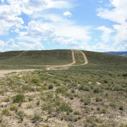
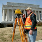
Part of preparing for construction safety means getting an accurate understanding of what hazards are expected, so you can prepare for and mitigate them as much as possible. From a land surveying perspective, that means knowing where unstable work surfaces might be putting your workers at risk. Using traditional technology, acquiring a survey on a potentially unsafe terrain would require the surveyor to traverse through the rugged landscape in order to gather information. In addition to being extremely time consuming, this process also puts the surveyors themselves at risk.
In many cases, construction site safety can take a back seat when project managers are concerned that the construction project may not be progressing according to schedule. The process for issuing surveys is time consuming, and can lead to forced down time on the job site, which is something that every project manager wants to avoid.
As a result, many project managers are content to proceed with their projects without waiting for the land surveys to be returned. While this may seem like a time-saving measure, it’s actually quite shortsighted, as injuries on the job site caused by lack of terrain visibility can be just as much of a time waster as waiting for land surveys.
Project managers need a solution that will allow them to balance the seemingly contradictory goals of ensuring project safety and avoiding unnecessary delays. With 3D laser scanning technology, there is no reason that project managers can’t achieve both of these important goals.
3D Laser Scanning Helps Balance Speed and Safety
3D laser scanning contributes to increased safety on the job site, as it removes the need for land surveyors to place themselves in harm’s way to complete their surveys. Since the surveyors no longer have to risk going from place to place to manually collect the information, 3D laser scanning can also help avoid project delays, as land surveyors will now be able to turn around their finished work much faster
By making quick and safe land surveys an integrated part of the organization’s construction process, 3D laser scanning can help project managers balance the competing goals of project speed and project safety in a manner that works best for everyone involved.
Aerial Mapping
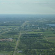
3D laser scanning technology can also be supported through the use of aerial mapping. Using either fixed-wing aircraft, helicopters, or unmanned aerial vehicles, land surveyors can get the visibility they need to complete terrain maps without having to set foot on dangerous terrain themselves.
When used together with 3D laser scanning, aerial mapping allows construction project managers to get the visibility they need to understand and plan for risk in the construction project, without having to wait for the land surveys to be completed. Together, these technologies are making it so that project managers no longer have to choose between speed and safety.
To learn more about aerial mapping and 3D laser scanning services from Landpoint, and how they can help improve construction site safety, contact us today.
Image Source : Michael Gil


