How Professional Land Surveyors Can Close the Gap Between Engineering and Construction
Intelligent modeling is becoming important to the engineering and construction industries, with organizations that support BIM now far more competitive than businesses that have not yet made the jump. BIM is still a new and emerging technology with many improvements to be made and applications to be discovered, and land surveying may be able to help bridge the gap that now exists between engineering and construction.
The Advantages of BIM
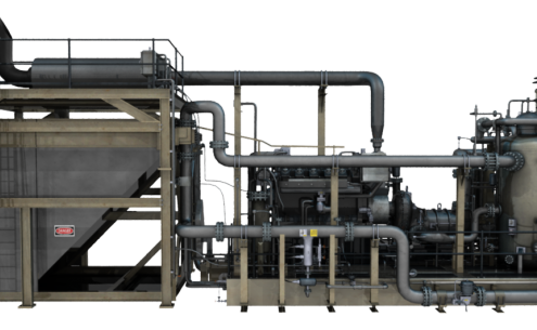
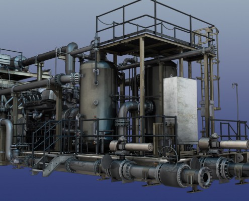
Business intelligence modeling creates accurate, 3D models of projects. Engineers can build structures and properties across surveyed land, in order to determine the most optimal configurations of these projects. 3D models create a more reliable simulation of the way that a project will be, identifying potential project flaws through simulations. Engineers are able to analyze their design elements, improve potential conflicts, and simulate scenarios such as tracking the sun throughout the year.
Essentially, 3D BIM give engineers the opportunity to “try before they buy.” They can create complex digital simulations of a project that will reveal potential risks and issues with the project before the project even begins, therefore improving the success of the project and reducing the amount of time the project will take. In terms of cost analysis, 3D BIM makes it possible for businesses to project different changes to their structures that could save them money, reducing cost while not sacrificing on quality.
By doing work on 3D BIM, engineers can provide more valuable information to construction companies. However, they need to start with the right data and technology in hand — that is where professional land surveyors come in.
Professional Land Surveying and Business Intelligence Modeling
To be accurate, 3D BIM needs to begin with a detailed representation of the surrounding area. For some projects, such as an inner city building, this may be less important. For others, such as oil and gas pipelines, this is an important factor. Structures are going to need to be developed around the surrounding environment in a way to take advantage of that environment. Consider solar panel installations: they need to be configured so they can take advantage of the sun throughout the day and year, without interrupting each other, and while taking up as little space as possible.
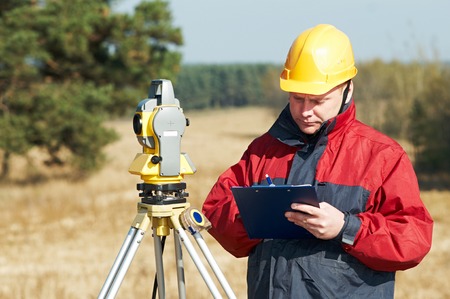
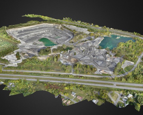
Professional land surveying can be done that will take a 3D scan of the surrounding area. This extremely accurate, high-resolution scan can be digitally modeled and used to build structures. From there, the structures can be created with more realistic and accurate simulations, easily making it so that construction can begin and end on schedule. Engineers will find it easier to work with accessible data, while the engineers and the construction team will be able to collaborate and communicate based on a clear 3D design.
Most importantly, the land surveying that is completed at the beginning of a project has to be as accurate as possible; inaccuracies in the early stages of surveying can cascade into serious problems later in the project. Any delays or complications during the survey process will translate into time and budget overages later on, as engineers and construction workers will have to adjust.
In general terms, BIM makes it easier for engineering and construction teams to work together, as they can view an accurate representation of what the project will be, and they can easily collaborate based on this shared data. Engineering and construction teams will be able to modify areas of the project on-the-fly to test out new recommendations and to experiment with differences in build and material. And it all begins with the process of land surveying.


