Aerial LiDAR: What Are Your Options?
Aerial LiDAR is undoubtedly one of the fastest and most accurate methods of completing a land survey. However, there are multiple ways that you can acquire aerial LiDAR data. An aerial LiDAR scan can be completed through the use of helicopters, planes, and drones. Here’s everything you need to know about selecting the right option for your project.
The Three Types of Airborne LiDAR
LiDAR scans can be used from multiple airborne vehicles. Planes, helicopters, and drones can all be used to capture LiDAR information, but there are differences in the ways that they will capture this information. While UAV drone technology has proven to be the most versatile all around, there are also scenarios in which helicopters or planes may be preferable.
Budget
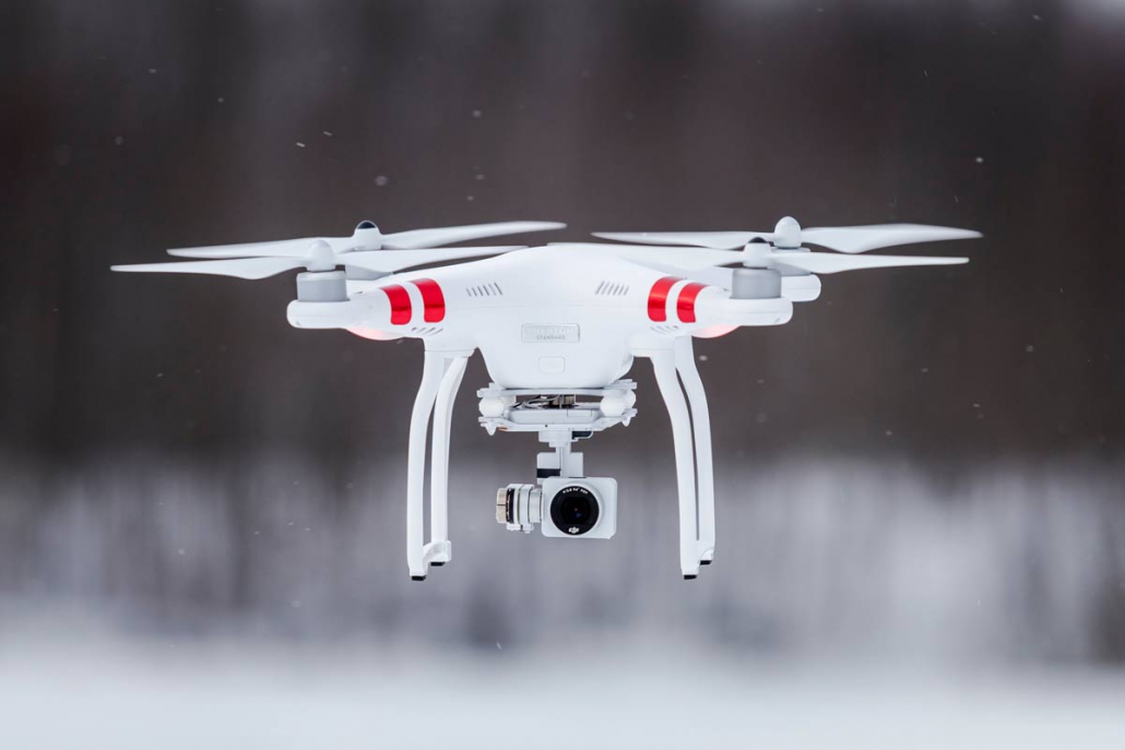
- Drone. A drone is going to be the most affordable method of aerial LiDAR by far. Drones are less expensive because they don’t require a crew to run them.
- Helicopter. Helicopters are less expensive than planes but more expensive than drones. While they do require a crew like a plane, a helicopter itself is generally less expensive to operate.
- Plane. Planes are the most expensive aerial LiDAR option. Not only do they require a crew, but they may also require some permits or licenses to run.
Safety
- Drone. A drone is an unmanned craft, which means even if it does experience issues, it won’t cause injury to a crew. This makes it the safest option for an aerial survey, and is one of the primary reasons it has become a popular method.
- Helicopter. Contrary to popular belief, helicopters are only slightly more dangerous than planes—though this depends a lot on the environment they are flying in. However, both helicopters and planes can be dangerous because they have a crew which can get injured.
- Plane. As mentioned, both helicopters and planes are substantially more dangerous than drones. That being said, it isn’t always a significant risk: most planes and helicopters will never experience issues. Safety is a major concern with any equipment, and a plane can malfunction more spectacularly than a drone.


Accuracy
- Drones. Drones have the highest levels of accuracy because they can fly the lowest of the aerial options. The lower they fly, the more detailed their scans and the higher their scan resolution.
- Helicopters. Not only can helicopters fly lower than airplanes, but they can also hover. This means they can produce higher levels of accuracy than planes, even if they may not meet the accuracy of a UAV.
- Planes. Though a plane does need to be at a higher elevation (and therefore produces lower levels of accuracy), these levels of accuracy are usually still significant enough to be suitable for most applications.
Weather
- Drone. A drone cannot fly in exceptionally poor weather conditions or in high winds. While there’s always the possibility of waiting, it can make it difficult to survey areas that are frequently windy.
- Helicopter. Helicopters are able to collect LiDAR data in bad weather, though very bad weather should still be avoided. Helicopters can hover even in high winds.
- Plane. Planes can collect LiDAR in nearly every type of weather, as the weather does not impact an aircraft the same way it might impact a drone or helicopter. However, it can interfere with some types of scanning.
Speed
- Drone. Drones can report back data in a matter of hours, primarily because they can be deployed quickly and complete a scan fast. This can be important for projects which have close deadlines.
- Helicopter. With helicopters as well as planes, requisitioning and prepping the equipment and crew may take longer. However, once in the air, a helicopter survey will be quite fast.
- Plane. Once the crew and equipment have been prepared, a plane survey should be quite fast. In fact, over large areas, planes are usually the fastest way to get an aerial survey done.
Choosing a Method of Aerial LiDAR
By assessing the five factors above, you can decide whether you need drone, helicopter, or aerial LiDAR. Regardless, you’ll get high resolution imagery that has been plotted out by advanced laser scanning technology. Aerial LiDAR is always going to be an effective option; the method is just going to alter how safe, fast, and expensive the process is going to be.
Are you still wondering whether aerial LiDAR is right for your next survey? Contact Landpoint to find out more about the benefits of aerial LiDAR and the differences between different types of airborne LiDAR technology.