What is Surveying in Civil Engineering? Why Surveyors Are Critical to Public Works
What is surveying in civil engineering? Why is it so critical? Surveying is involved in everything — from accurately drawing boundaries between private and public land, to inspecting bridges and other critical infrastructure. Without surveying, the placement, security, and safety of projects cannot be assured. Here’s an overview of how surveying works with civil engineering to make public works better.
The Relationship Between Civil Engineering and Surveying
Civil engineering is a complex discipline. In fact, it’s the second oldest engineering discipline apart from military engineering. Civil engineering is often associated with public works, but that’s not all it is. Civil engineering is any type of engineering that involves building infrastructure on top of the environment: Canals, bridges, and pipelines are most notable.
Since civil engineering involves directly impacting the environment (often in a significant way), surveys are incredibly important. Surveys make sure that protected environment isn’t adversely affected, that the structure is safe, and that the project is overall as efficient as possible.
So, what is surveying in civil engineering? It is a critical part of every stage of a project’s development. Here are some of the ways in which surveying is so incredibly important.
Inspect High Risk Areas Such as Bridges and Other Infrastructure
Through the use of drones, bridge surveys (and other types of high risk surveys) can be completed without any risk to personnel. A drone bridge inspection is naturally less dangerous than a conventional survey, as drones can get into areas that a person could not easily (or safely) get into. Drones can fly around a bridge or other complex infrastructure easily, thereby conducting more in-depth surveys and increasing the overall safety of the bridge.
Many of the bridges in the United States are in disrepair, and it isn’t the bridges alone that are an issue. Canals, dams, and other civil infrastructure could be at risk of falling apart, because they aren’t being frequently inspected. Dams are among other, similar, infrastructure which cannot be easily inspected, and consequently may have issues that need to be repaired but haven’t yet been revealed.
Drones can fly very close to the ground, and they can hover, which means they can inspect areas that are otherwise inaccessible. And all of this makes it more likely to complete projects safely.

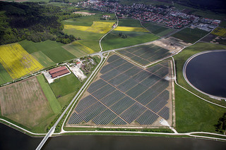
Surveying in Civil Engineering 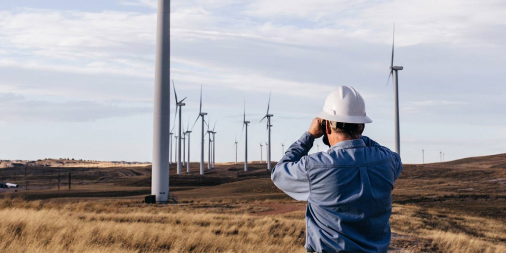
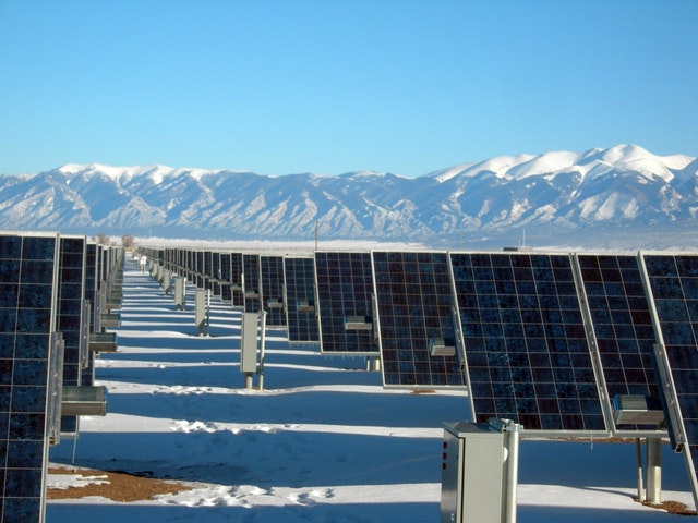
Solar surveyor 
A land surveyor on site
Collect Accurate Data for Proposals
When engineering proposals are being completed, accurate surveys can help. Public works generally require approval by the public, either through direct vote, or by voting in lawmakers who are interested in completing certain projects. And the public can be against any improvements that could potentially be very dangerous.
Collecting accurate data is essential to the future of a project. With the right drone surveys, 3D simulations can be created. As an example, a new road could impact water flows, or could cause issues of erosion for the surrounding environment.
Once accurate drone surveys have been completed, lawmakers will be able to better support their case in the public. And the public will be able to make more knowledgeable decisions overall. Data collected for a proposal could also indicate that a project is unsafe, in which case lawmakers would want to know this before they support the initiatives themselves.
Resolve Legal Issues Between Private and Public Property
Property issues can become a big dispute. When civil engineering projects are initiated, there can often be issues between public property and private ownership. Boundary surveys may be needed to resolve whose land is being developed. With drones, the data can be utilized to help determine where private land ends and public lands begin. This can prevent both costly acquisitions and the use of eminent domain.
Drones are, by far, the fastest and safest ways to conduct a regular land survey today — while they may not be able to travel at the speeds of planes, they can usually deploy much faster. This heads off legal issues before they become major problems, eliminating delays to important public works problems, and assuring citizens that only public land is being developed.
Surveying and civil engineering is critically linked, and there are many ways in which drone technology can help civil engineers complete their work. Whether the project is public or private, it’s important that the environment around the development be thoroughly scanned and surveyed. UAV technology, combined with technologies such as LiDAR scanning, can produce highly accurate, cost-effective surveys for all types of engineering projects.
Do you want to learn more about surveying and civil engineering? Do you want to invest in drone inspection? Contact the experts at Landpoint.